SYNOPSIS
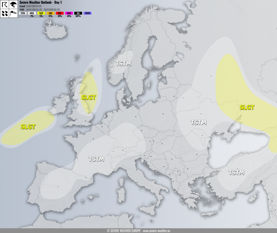
A strong upper ridge persists across the large part of continental Europe while deep low and an associated surface cyclone over the N Atlantic nears Ireland. A large but shallow upper low is located along the eastern flank of the ridge, resulting in unstable environment across Black sea region and SE Europe.
DISCUSSION
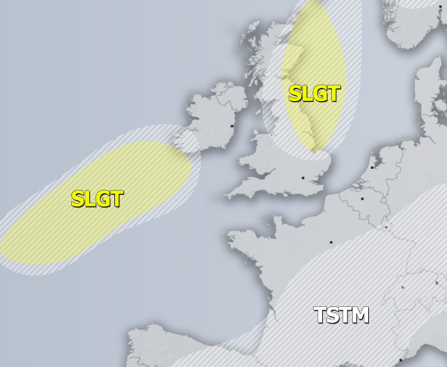
SLGT risk has been issued for the Bay of Biscay into SW Ireland with threat for severe storms, capable of producing severe winds and torrential rainfall. A deep cyclone supports some convective activity, mainly severe wind threat.
SLGT risk has been issued for E UK with threat for severe storms, capable of producing severe winds and torrential rainfall and marginal hail. Threat is limited to morning hours as remnants of large overnight cluster of storms moves off the UK into the North Sea.
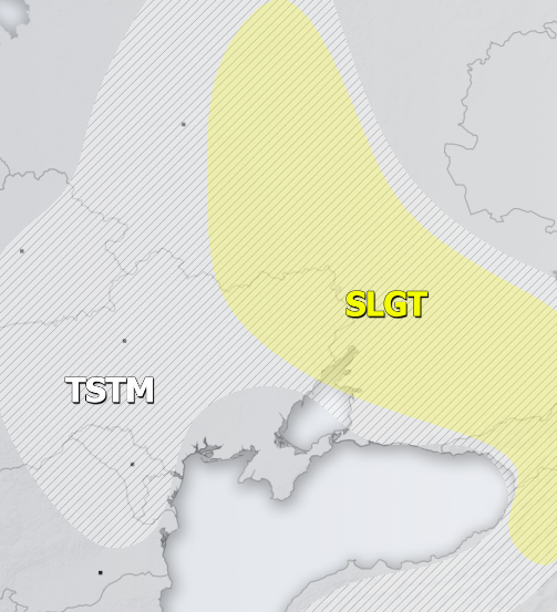
SLGT risk has been issued for NE Turkey and Georgia into W Ukraine and W Russia with threat for severe storms, capable of producing severe winds, torrential rainfall and large hail.
TSTM risk areas have been placed where convective storms are likely to occur but should remain sub-severe.


