Tropics have become quite busy lately. One of the latest systems is tropical cyclone Oma, which has passed NW of New Caledonia earlier this week and is now continuing towards Australia at a very slow speed. Maximum sustained winds are at 55 knots with central pressure near 976 mbar.
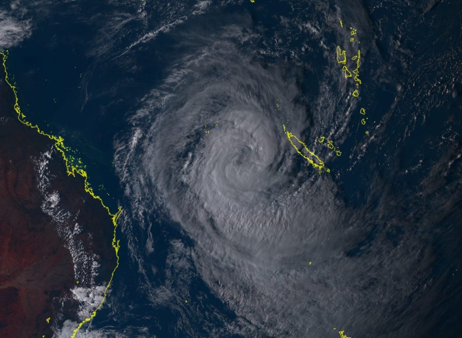
Some quite impressive satellite imagery from today’s scans, revealing a well-structured cyclonic shape of tropical cyclone Oma with its center due west of New Caledonia. Oma is slowly moving WSW this week.
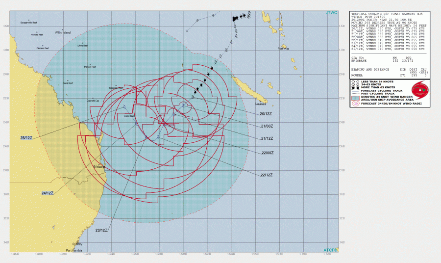
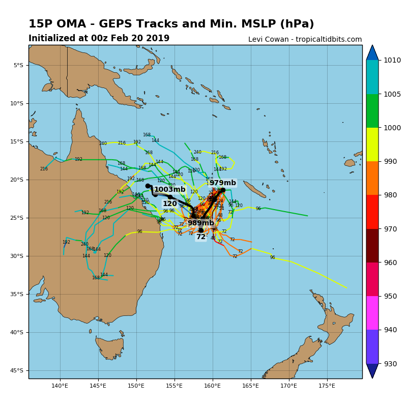
It is expected to continue moving towards ENE Australia this weekend and could potentially make landfall in the region by early to mid next week. However, its future track is still quite uncertain, based on current model data. The most likely scenario puts Oma on the way towards NW/SE Queensland by Sunday, with the cyclone then turning sharply towards NNW on Monday.
We are monitoring the evolution of this tropical system and will keep you updates – stay tuned!


