A new, potentially explosive severe weather setup is shaping up for the southern Alpine and northern Adriatic region, already hit by severe thunderstorms this past weekend.
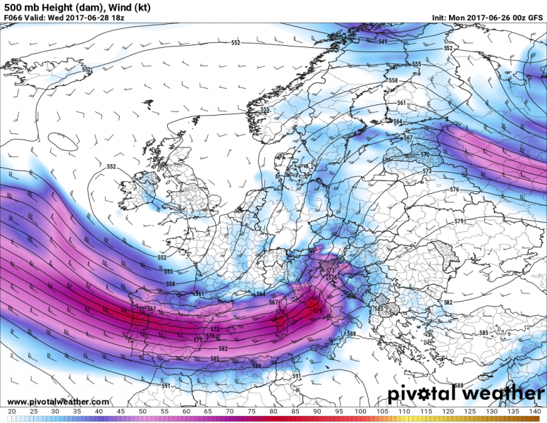
500 mbar winds and height, GFS model guidance. Map: Pivotal Weather.
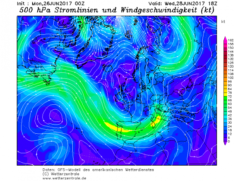
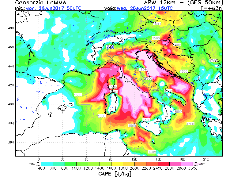
A long wave trough moves from W Europe into the western Mediterranean, with a very strong, 60-80 kt mid-level (500 mbar) jetstream. It overlaps with a very unstable environment, particularly over the Ligurian sea, plains of north Italy, the north Adriatic and the western Pannonian basin. Various models generally agree on high to extreme instability with 2000-4000 J/kg MLCAPE building up ahead of the trough.
500 mbar winds and height, GFS model guidance. Map: Wetterzentrale.
Instability across the region, WRF-ARW GFS model guidance. Map: Consorzio LaMMA.
While still too far ahead for details, the setup does have a very significant potential for organized, severe thunderstorms and certainly merits further monitoring. The same system will likely cause severe thunderstorms in S France tomorrow.


