Here we go again! A new round of Adriatic sea-effect snow is coming for parts of central and southern Italy this week. Let us take a closer look.
Adriatic sea surface temperature forecast for January 9. Map: Adriatic Forecasting System.
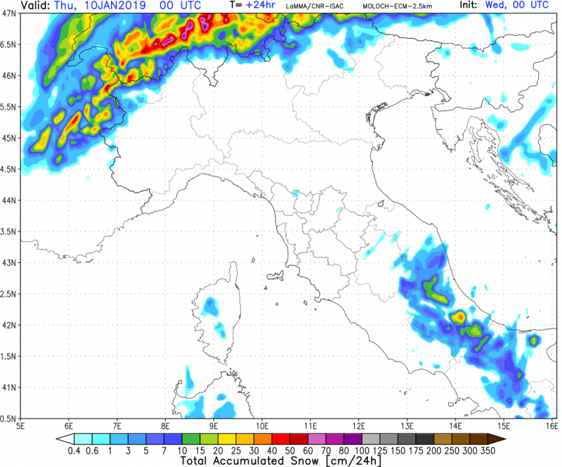
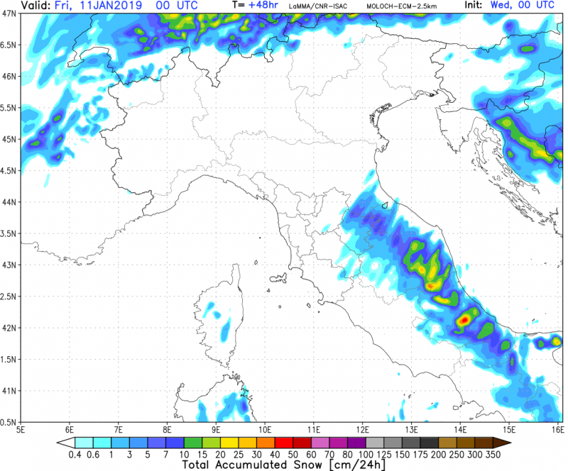
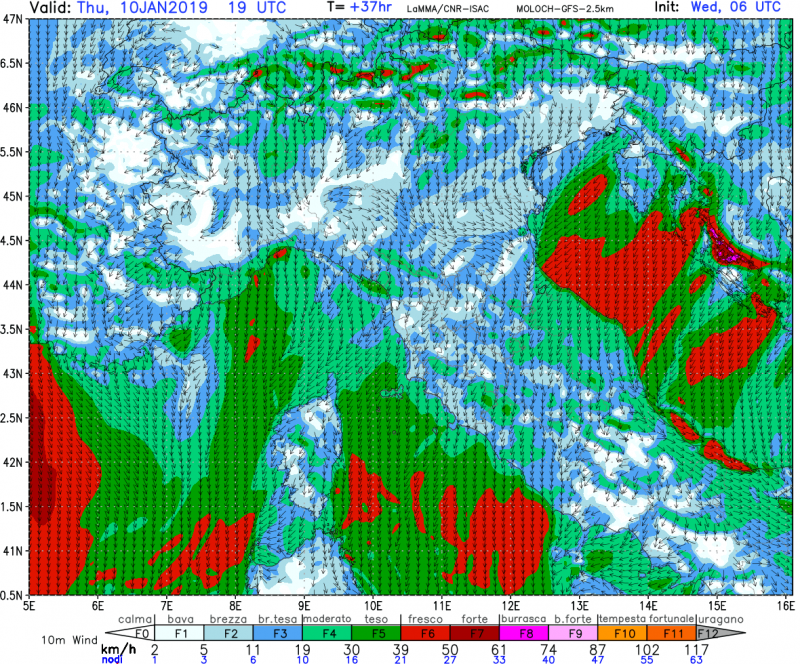
Strong Bora / Gregale winds develop over the Adriatic sea in the wake of the Arctic blast and the cutoff low in the Ionian sea / extreme southern Italy. The Adriatic sea surface temperature is still around 13-15 °C in its central part, while the airmass moving across it will be at 0-4 °C. New snow is expected along most of the Apennines, from Emilia Romagna to Calabria. Expect 10-20 cm of fresh snow at higher elevations, locally up to 50-80 cm! Snow may fall also on the coast of the Adriatic sea Marche, Abruzzo and Molise, possibly Puglia as well.
Total accumulated snow in 24h by mid Thursday morning (06 UTC)). ARW-GFS model guidance. Map: Consorzio LaMMA.
Total accumulated snow in 24h by Thursday early morning (00 UTC) and Friday early morning (00h UTC). MOLOCH-ECM model guidance. Map: Consorzio LaMMA.
Northeasterly Bora winds across the central Adriatic. MOLOCH-ECM model guidance. Map: Consorzio LaMMA.


