SYNOPSIS
A complex pattern is unfolding over Europe this weekend. A deep trough with several shortwaves will bring unsettled conditions over central Europe and NW Russia. The upper ridge is located over SW Europe, gradually expanding into N Atlantic and W Europe.
DISCUSSION
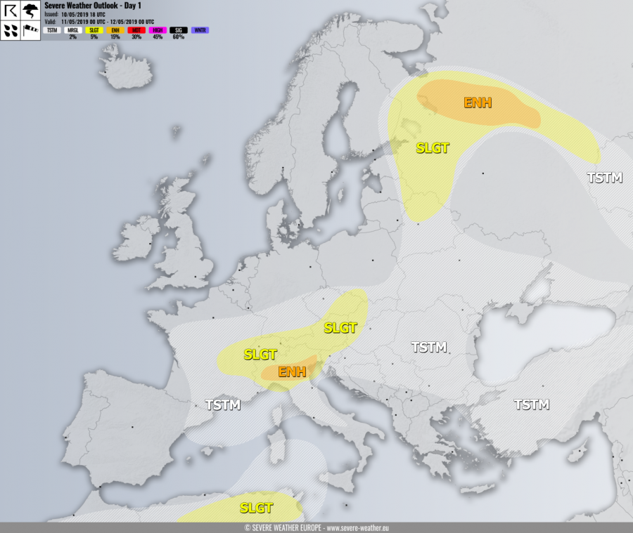
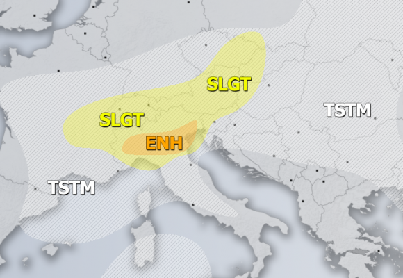
ENH risk has been issued for N Italy with threat for severe storms, capable of producing severe winds, torrential rainfall, tornadoes and marginally large hail. A very active cold front will push across the Alps into the N Mediterranean region, accompanied by marginal to moderate CAPE and quite strong deep layer shear. Good LL inflow winds should also enhance helicity across the Po plain with SE surface winds, becoming supportive for supercells with large hail, severe winds and even a tornado or two. Excessive rainfall is also expected with the strongest cells.
SLGT risk has been issued for areas surrounding the ENH risk including N Italy, Switzerland, E France, S Germany, NNE Slovenia, Austria, NW Hungary into Slovakia and Czech Republic with more isolated threat for severe storms along the moving cold front from the NW. These storms will be capable of producing severe winds, torrential rainfall and marginal hail.
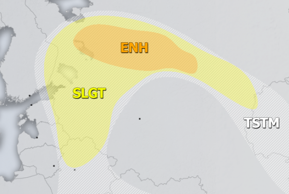
ENH/SLGT risks have been issued for NW Russia into SE Finland with threat for severe storms, capable of producing severe winds, torrential rainfall, large hail and some tornado threat. Widespread convective storms are expected, including supercells with large hail.
SLGT risk has been issued for NE Algeria into N Tunisia with isolated threat for severe storms, capable of producing severe winds, torrential rainfall and large hail.
TSTM risk areas have been placed where convective storms are likely to occur, but should remain sub-severe.


