The exceptional Super Typhoon Mangkhut is currently raging in the western Pacific. It crossed the Mariana Islands two days ago and then rapidly strengthened until today when it reached Category 5 strength with 160 mph sustained winds and central pressure around 915 mbar. It is expected to maintain Category 5 force and gain some additional intensity through the next 48 hours.
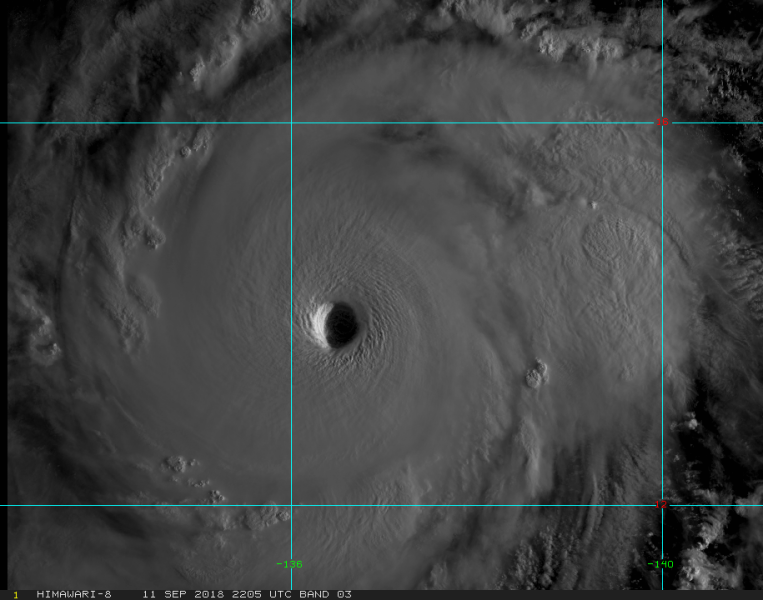
Daylight is now coming over Mangkhut and revealing the outstanding structure of the typhoon, with textbook stadium effect of the eyewall and large clear eye. A perfect example of a monster typhoon.
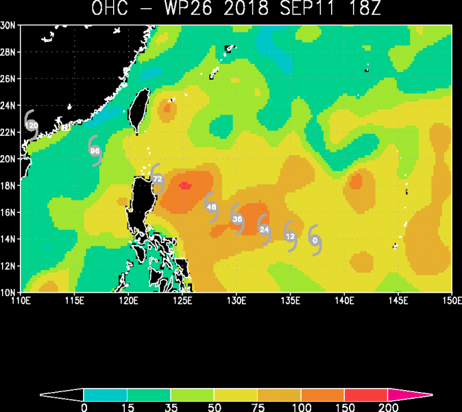
Mangkhut will be going through extremely warm sea on its future path, so additional strengthening is quite likely despite typhoon is already a Category 5 storm.
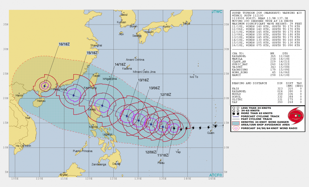
Joint Typhoon Warning Center (JTWC) has Mangkhut’s path towards the strait of Luzon, Philippines on Saturday morning local time, Sept 15th. It is still possible the eye will actually make landfall on the extreme NE part of Luzon per some models. In any case, a typhoon of such intensity will be devastating for the area as intense 150 mph winds are expected within the eyewall which would pass right over northern Luzon even if the eye stays over the sea to the north.
We will have additional updates tomorrow.


