Invest-97L is the new area of potential development in the central Atlantic, with a high chance of developing into a tropical storm in the next few days.
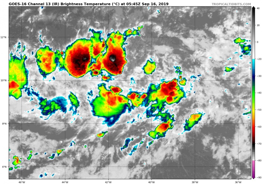
Invest-97L is currently just an area under observation, but it shows strong signs of potential development. Convection is persistent and strengthening, with a now visible center area of low pressure and circulation.
IR satellite imagery of Invest-97L area. Image by Tropical Tidbits.
The NHC (National Hurricane Center) recognizes the slow organisation of this convective area of low pressure, and currently gives it 50% chance of becoming a tropical cyclone within 2 days, and a high 80% chance of becoming a tropical cyclone in the next 5 days.
Development potential outlook for Invest-97L area. Image by NHC.
Development potential outlook for Invest-97L area. Image by NHC.
Sea surface temperatures are warmer than normal, which will help in the development of this convective system. Image by Tropical Tidbits.
Looking at the models, they take it first mainly west-northwest, into the Caribbeans. It is not yet clear at what strength, since the forecasts have it from a tropical storm strength, and up to a major hurricane (cat 3) strength. Images by Tropical Tidbits.
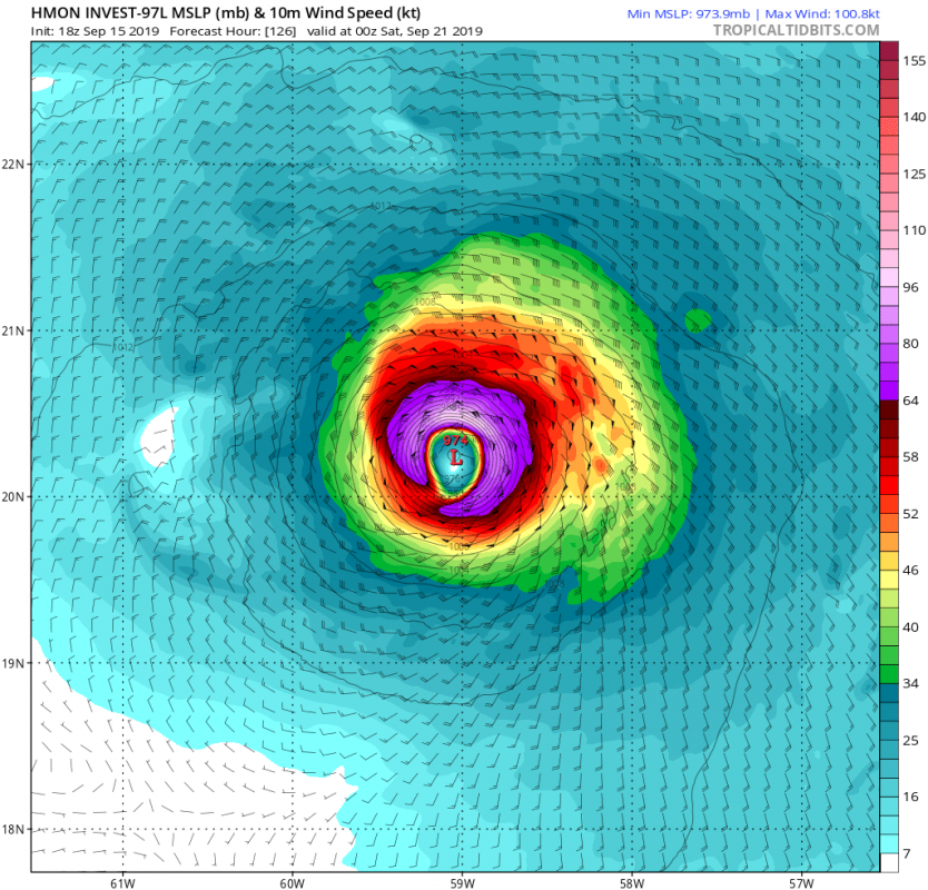
The most optimistic high resolution forecast is currently from the HMON model, which develops this system into a category 3 hurricane.
HMON model forecast for Invest-97L. Image by Tropical Tidbits.
We well keep a close look on this area as it has a lot of potential for development, so stay tuned!


