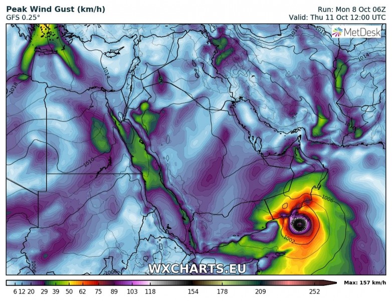
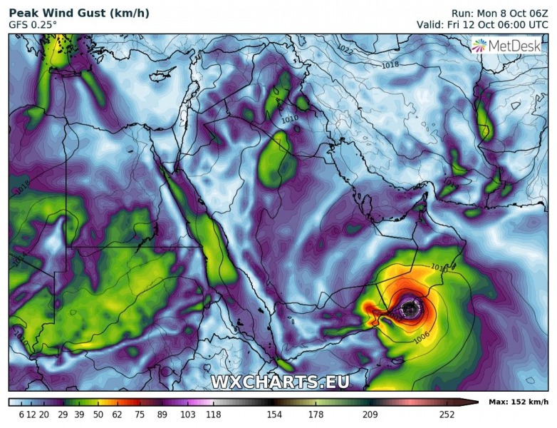
Yet another tropical system is bringing potential threat for damaging storm surge, winds and flooding this week. Tropical cyclone Luban has developed along the southeast Arabian peninsula and is heading towards SW Oman where it is expected to make landfall on Friday. This could become another potentially destructive cyclone with life-threatening flooding and winds during landfall.
A 6-hour step sequence of the development of tropical cyclone nearing Oman on Thursday and Friday. The gradual strengthening on its way towards Oman is visible.
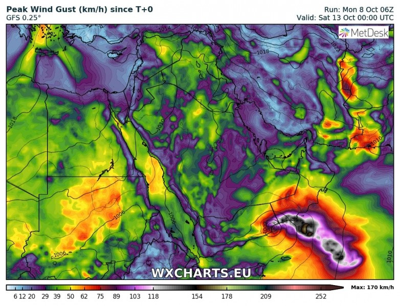
Peak wind gusts and accumulated rainfall swaths along the cyclone’s track on its way towards landfall near Salalah city, southwest Oman. Peak wind gusts could exceed 170 km/h just in the last 18-24 hours prior to landfall when Luban could gain additional intensification over the very warm waters near the coast.
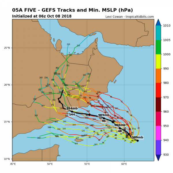
GEFS (ensemble GFS) model tracks for Luban’s future track – while the model spread is quite wide, the likely landfall will be in far SW Oman. However, some potential exists for the landfall in extreme NE Yemen as well.
We will have more updates on this potentially devastating tropical system for the Oman’s coast soon – stay tuned!


