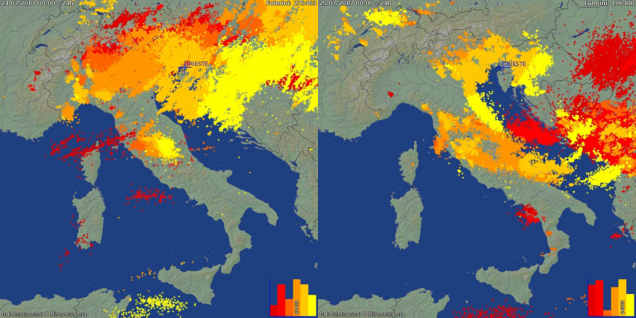
A deep trough passed over the Alpine / northern Mediterranean region on July 24-25, causing widespread intense severe thunderstorms across the plains of north Italy. Some impressive parameters were in place: high to extreme instability with MLCAPE in 2000-4000 J/kg range and moderately strong deep-layer shear in 30-40 kt. Two waves of severe thunderstorms passed trough the region: a large squall line with numerous discrete HP supercells, particularly over Veneto on July 24 and a second round of more discrete and isolated thunderstorms, including supercells, over E Po plain and northern Adriatic.
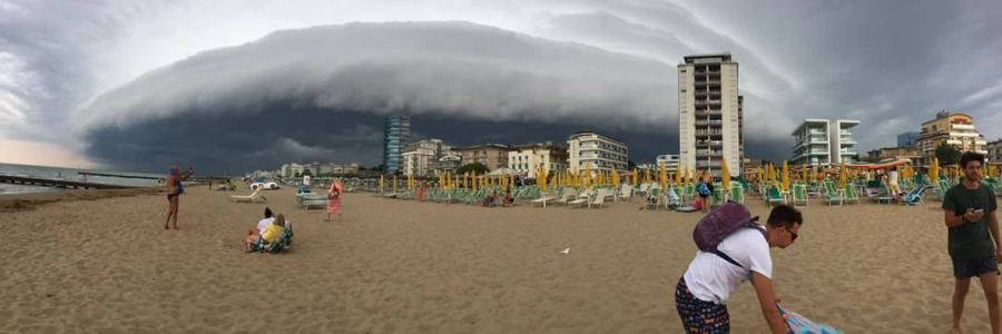
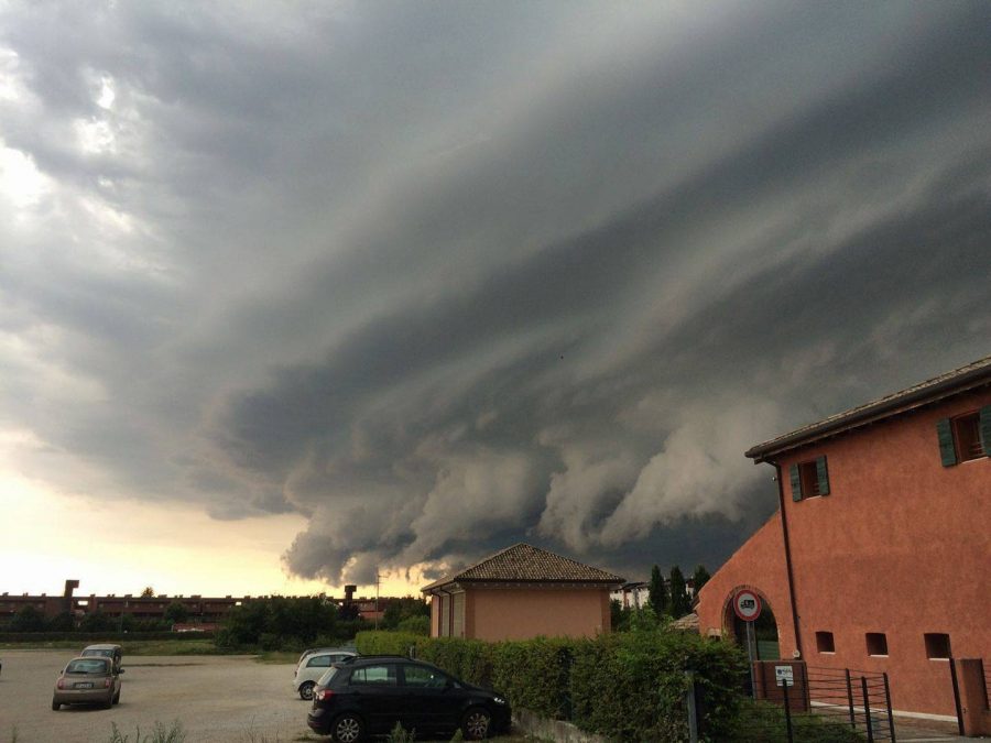
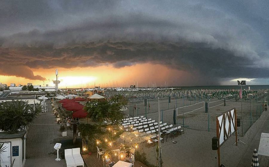
Several intense high-precipitation supercells formed in the Veneto region of NE Italy in the afternoon of July 24, producing intense rainfall, some marginally large hail and severe straight line winds. These thunderstorms were also some eye candy for storm chasers – some of these storms developed spectacular structure, certainly a treat for any storm chaser!
[fb_plugin post href=https://www.facebook.com/severeweatherEU/videos/2052515968304827/]
[fb_plugin post href=https://www.facebook.com/severeweatherEU/videos/2052964581593299/]
[fb_plugin post href=https://www.facebook.com/severeweatherEU/videos/2052861638270260/]
[fb_plugin post href=https://www.facebook.com/severeweatherEU/videos/2053087368247687/]
[fb_plugin post href=https://www.facebook.com/severeweatherEU/videos/2052883068268117/]
The eastern Po plain, particularly its Adriatic coast was hit by severe thunderstorms on July 25.
[fb_plugin post href=https://www.facebook.com/severeweatherEU/videos/2053578531531904/]
[fb_plugin post href=https://www.facebook.com/severeweatherEU/videos/2053578211531936/]
[fb_plugin post href=https://www.facebook.com/severeweatherEU/videos/2053549964868094/]
