SYNOPSIS
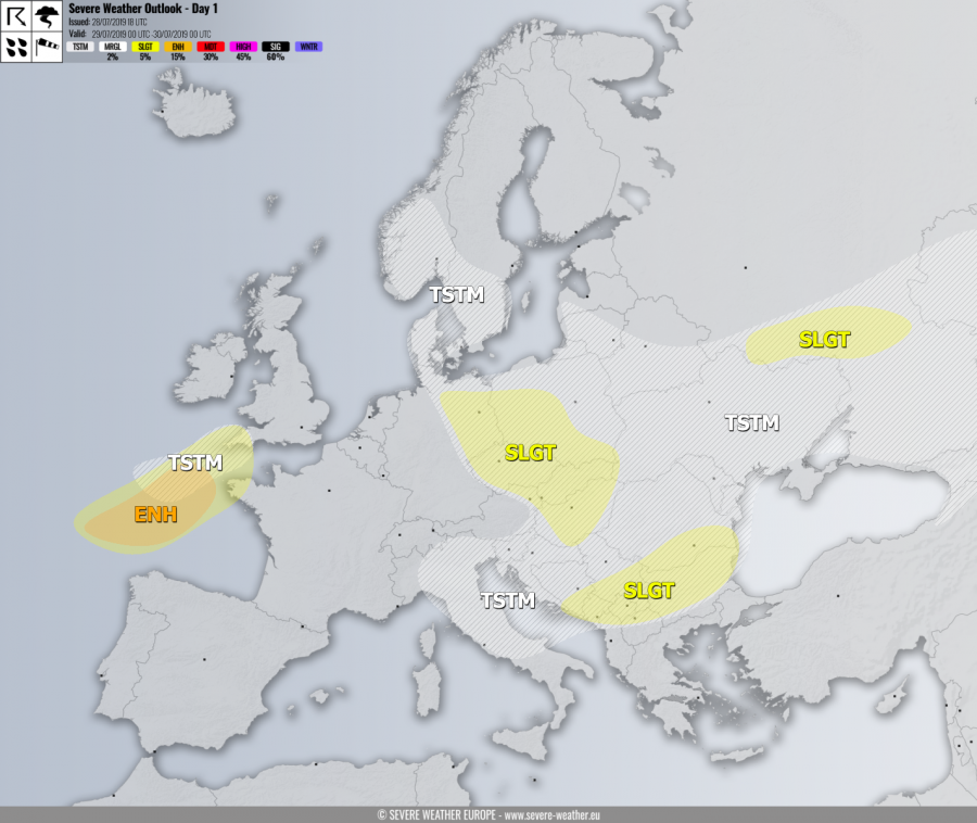
A deep cyclone is moving across the Bay of Biscay towards the English Channel. A weakening upper low is moving across the Balkans towards the east while an upper ridge over Scandinavia weakens while very deep trough / low enters from the NW Russia.
DISCUSSION
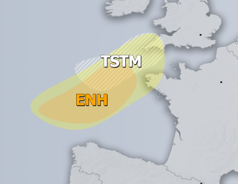
ENH / SLGT risks have been issued for the Bay of Biscay towards extreme NW France and SW England with threat for severe winds, tornadoes and torrential rainfall. Peak gusts could excess of 110 km/h near the center of a deep low moving across the Bay of Biscay while some low-topped supercells with tornado threat are also possible due to marginal instability but enhanced LL shear / helicity.
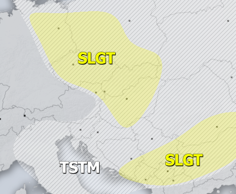
SLGT risk has been issued for NE Germany, S Poland, Czechia, Slovakia into Hungary with threat for severe storms, capable of producing torrential rainfall and marginal hail. Almost uncapped moderate instability under weak shear should produce widespread slow-moving storms with flash floods threat.
SLGT risk has been issued for the southern Balkans with threat for severe storms, capable of producing severe winds, marginally large hail and torrential rainfall. Organized storms are possible under moderate shear and MLCAPE, including some supercells with large hail.
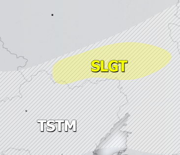
SLGT risk has been issued for W Russia with threat for severe storms, capable of producing severe winds, marginally large hail and torrential rainfall. Scattered organized storms are possible along the moving cold front under moderate shear but weak instability, including some supercells with large hail.
TSTM risk areas have been placed where convective storms are likely to occur but should remain sub-severe.


