SYNOPSIS
A large upper ridge is centered over NNE Europe while deep trough with an intense cold core enters Iberian peninsula. A short-wave trough pushes into the N Mediterranean. A new upper ridge builds up over the SE Europe.
DISCUSSION
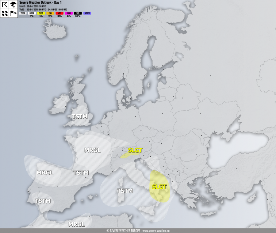
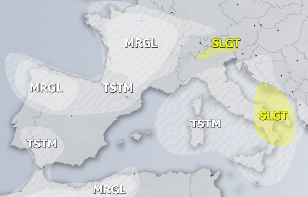
SLGT risk has been issued for NE Italy with threat for excessive rainfall in the southern Alpine flank, locally more than 100 mm is possible.
SLGT risk has been issued for S Italy into S Adriatic sea with severe storms, capable of producing severe winds, marginal hail and torrential rainfall. Strong forcing and shear under relatively low instability should support widespread organized storms.
MRGL risks have been issued across NW Iberia, France, N Morocco and N Algeria with threat for isolated severe storms, capable of producing severe winds, torrential rainfall and marginal hail, locally with accumulations as well (France, NW Spain).
TSTM risk areas have been placed where convective storms are likely to occur but should remain sub-severe.

