SYNOPSIS
A deep trough again develops over Europe with a pronounced short-wave trough pushed across the central Europe. Another short-wave trough is slowly moving across SE Europe. Ridge persists across Iberia.
DISCUSSION
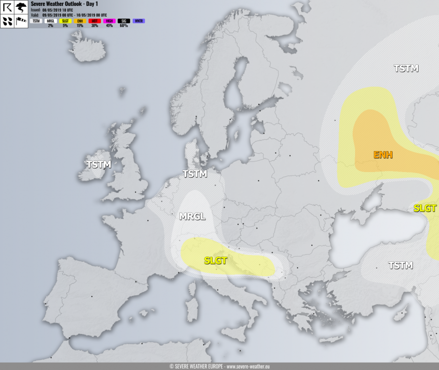
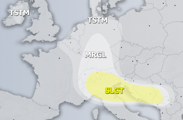
SLGT risk has been issued for N Italy into the NW Balkan peninsula and N Adriatic sea for isolated severe storms, capable of producing marginal hail, severe winds, torrential rainfall and some tornado threat. Some storms should get better organized under relatively strong shear but rather marginal instability. A good LL shear and especially helicity support low-level mesocyclones as well, so a brief tornado is not ruled out either.
MRGL risk has been issued for S Germany Alps into W Balkan peninsula with isolated threat for severe storms, capable of producing marginal hail, strong to severe winds and torrential rainfall.
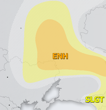
ENH risk has been issued for SW Russia into extreme E Ukraine with threat for severe storms, capable of producing severe winds, large hail, torrential rainfall and marginal tornado threat. Widespread storm activity is again expected, including some supercells, rather slow moving.
SLGT risk has been issued for areas surrounding the ENH risk across E Turkey into Georgia, E Ukraine and SW Russia with threat for severe storms, capable of producing severe winds, torrential rainfall and large hail with accumulation.
TSTM risk areas have been placed where convective storms are likely to occur but should remain sub-severe.


