SYNOPSIS
A large upper trough sits over N Atlantic and W Europe while an upper low remains over the S Balkans. In between an upper ridge remains over across SW, central and ESE Europe.
DISCUSSION
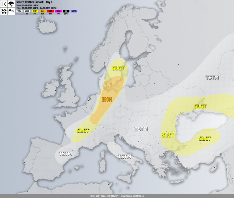
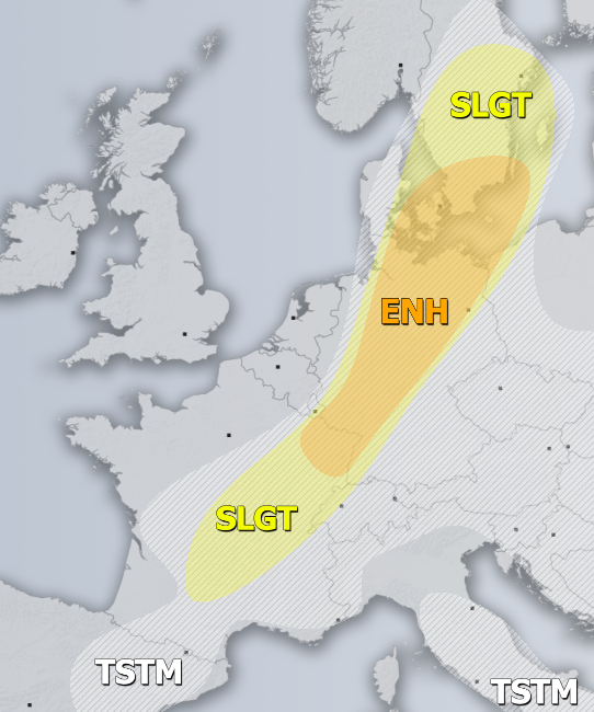
ENH / SLGT risks have been issued for E France across parts of Germany into S Sweden with threat for severe storms, capable of producing torrential / excessive rainfall, large hail and severe winds. Quite widespread activity is expected along the moving surface cold front. Strong instability overlapped with moderate shear should result in organized storms during the afternoon and evening hours when storms could merge into larger clusters.
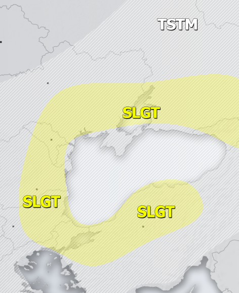
SLGT risk has been issued for NNW Turkey across E Bulgaria, E Romania, Moldova into SE Ukraine, SW Russia and Georgia with threat for severe storms, capable of producing torrential rainfall, severe winds and large to very large hail Flash floods are locally expected due to slow-moving storms.
TSTM risk areas have been placed where convective storms are likely to occur but should remain sub-severe.


