As forecast and monitored, a large MCS has hit N Germany in the morning hours and is now moving SE-wards across the region. Intense lightning activity as well as severe weather phenomena accompanies this system: severe wind gusts, large hail and a confirmed tornado so far. Below are some first reports from the system.
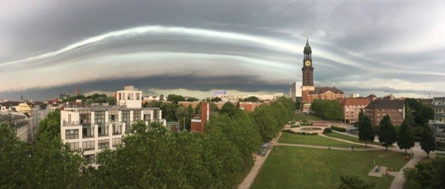
Approaching Mesoscale Convective System over Hamburg, N German. Photo: Samir Gaddah.
A second, more widespread round of intense thunderstorms is expected in the afternoon across southwestern and in particular central Germany, with storms moving into W Poland and W Czech Republic in the late afternoon/evening. See our Severe Weather Outlook for today for more details.
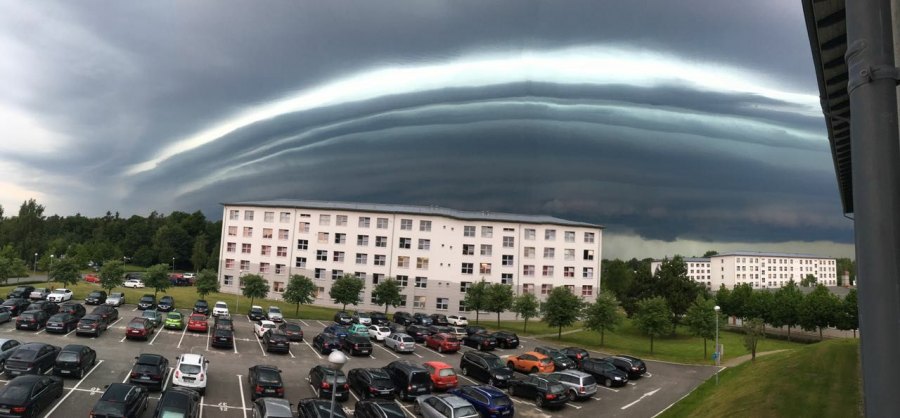
Spectacular view of the structure on the MCS over Hagenow, N Germany. Photo: Nadine We
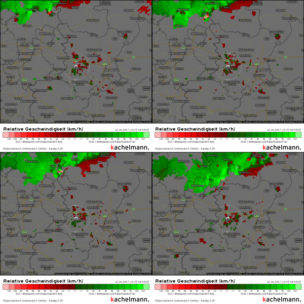
Doppler scan of the convective line passing near Tulau, heading towards Ratzlingen (set to pass E of it) – possible tornado embedded on the front of the MCS over N Germany. Radar: kachelmannwetter.com
https://www.facebook.com/814792128565056/videos/1606922332685361/
Tail end HP supercell northwest of Magdeburg, Germany. Radar: kachelmannwetter.com
Exceptional multi-level shelf cloud on the MCS near Hamburg, N Germany! Report: Stormchasing S-H
Photo:Jürgen Schäfer.
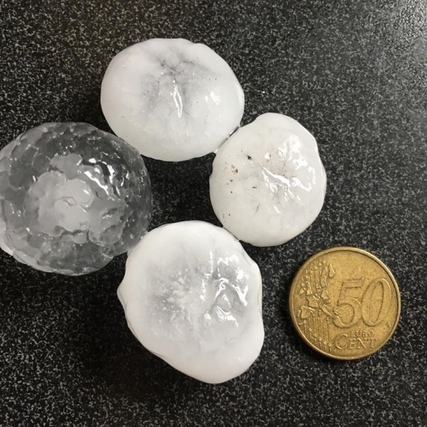
Marginally large hail reported on the first MCS of the day in Hamburg, N Germany! Photo: Madita1968 IG
Radar and satellite presentation of the incoming Mesoscale Covnective System in the morning hours. Courtesy: Guido Cioni.
https://www.facebook.com/severeweatherEU/videos/2029976560558768/
https://www.facebook.com/severeweatherEU/videos/2029947317228359/
https://www.facebook.com/severeweatherEU/videos/2029966743893083/
https://www.facebook.com/severeweatherEU/videos/2030048207218270/


