A number of tornadoes were reported across much of Italy on Saturday, October 6. Both non-mesocyclonic and mesocyclonic tornadoes were recorded, reflecting the dynamics of the low affecting the region.
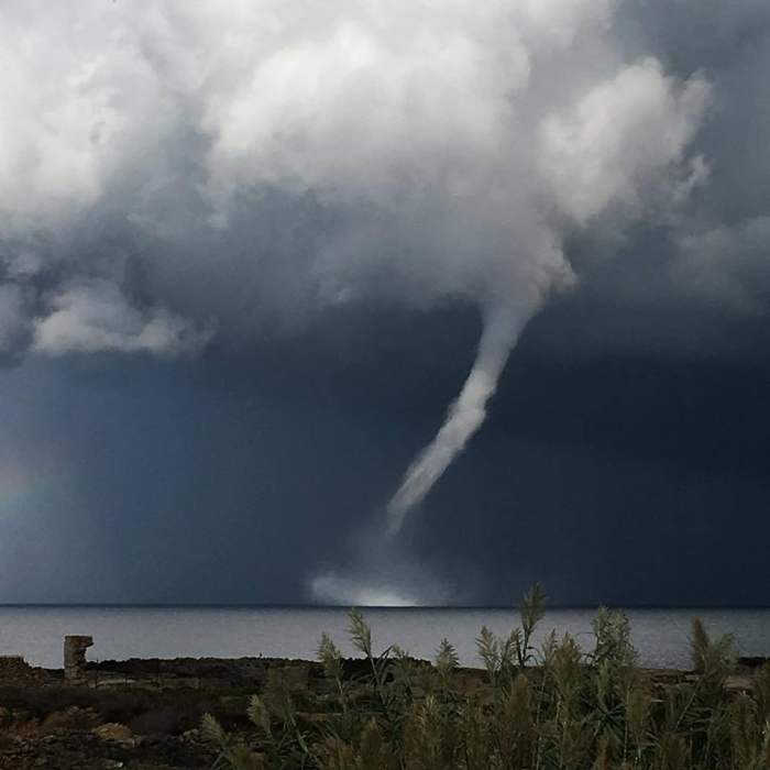
Waterspout off Favignana island, Sicily, south Italy on October 6. Report: Weather Sicily.
The current weather pattern over Italy is characterized by a large cutoff low. On Saturday the south of Italy was under a moderate mid-level jetstream, overlapping with moderate instability. Up to 1000-1500 J/kg MLCAPE was in place around Sicily, Campania and Puglia. Conditions were generally supportive for supercell thunderstorms and tornadoes.
A spectacular tornadic supercell formed off the coast of Favignana island, Sicily. Time lapse video of the storm shows textbook tornadic supercell: looking at the supercell from the ‘back side’, with a distinct RFD cutting into the mesocyclone, flanking line on the right and a partially rain-wrapped / obscured wall cloud.
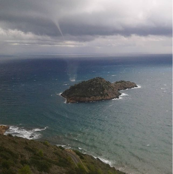
Further north along the coast of the Tyrrhenian sea and into the Ligurian sea, deep-layer shear diminished towards the central part of the upper low. Low shear, cold upper levels and the very warm seas combined to produce numerous waterspouts (non-mesocyclonic). Waterspouts were reported from the coast of the Tyrrhenian sea near Rome to the coast of the Ligurian sea near Genova.
Waterspout near Porto Ercole (GR), Tuscany, north Italy (over the Ligurian sea). Today, October 6. Report: Lorenzo Fusini.
Waterspout off Favignana island, Sicily, south Italy on October 6. Report: Luigi D’Asta.
Waterspout reported off Campo Ascolano – Torvajanica (RM), Lazio, central Italy over the Tyrrhenian sea. Oct 6, 13h local time. Report: Marcolino Vania.


