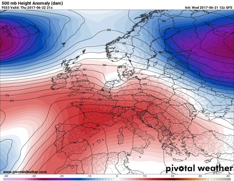
An explosive severe weather setup is shaping up for Germany and Poland today. Confidence is good for a round of severe thunderstorms across large parts of Germany in the afternoon, merging into a large MCS or two while moving into Poland and likely W Czech Republic in late afternoon and evening hours.
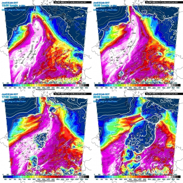
Plume of hot and moist airmass extends across Germany, with dewpoints set to reach 18-22 °C in the early afternoon. High instability will develop, with SBCAPE in 3000-5000 J/kg and MLCAPE in 2000-3500 J/kg range, a very unstable environment indeed. PWAT values will be generally over 40 mm along the entire plume.
WRF model guidance for SBCAPE tomorrow across Germany. Map: Meteociel.fr
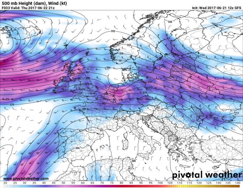
500 mbar wind across Europe tomorrow afternoon, GFS model guidance. Map: Pivotal Weather.
A strong 50-60 kt mid-level (500 mbar) westerly jet will overspread the region. Ahead of the instability axis, backing southerly and southeasterly winds provide ample shear and helicity. DLS will be in 40-50 kt range, SREH3 up to 100-200 m2/s2, particularly in N-CNTRL Germany and NW Poland.
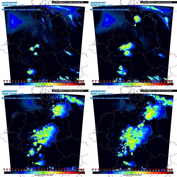
Simulated radar reflectivity, WRF model guidance. Map: Meteociel.fr.
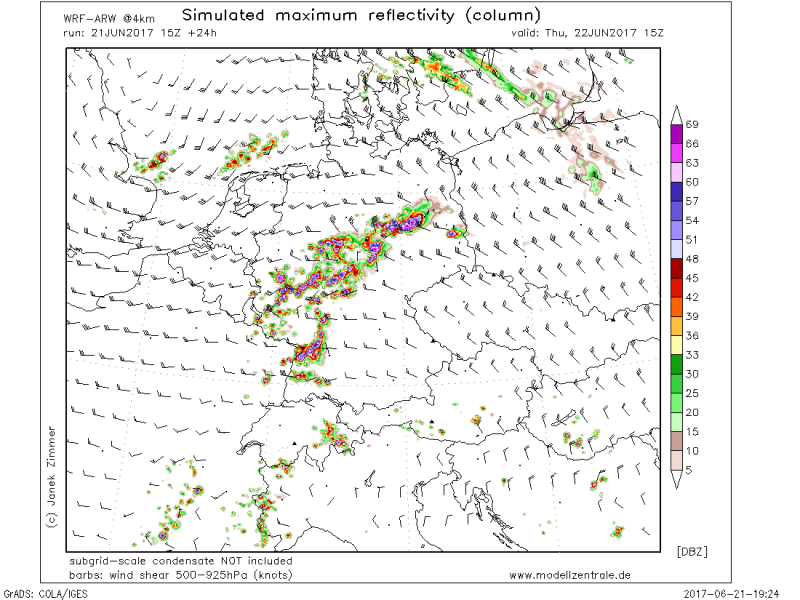
Simulated radar reflectivity, WRF model guidance. Map: Modellzentrale.de.
Most models agree on explosive storm initiation in mid afternoon, with a line of thunderstorms initiating across central Germany. Northern and northeastern Germany may well already have some storms ongoing along the warm front, moving towards NE Germany and NW Poland. Storms will likely remain discrete for some time, before coalescing into one or two large mesoscale convective systems moving into W Poland and W Czech Republic, respectively.
Isolated thunderstorms in this environment will likely become severe supercells, the dominant mode being High Precipitation due to the excessively high PWAT values. Main threats with these storms will be torrential rainfall with flash floods threat, large hail (locally very large hail at >5 cm) and damaging severe wind gusts. The mesoscale convective systems later in the day will present main threats for heavy rainfall and severe wind gusts. Tornado threat is elevated along the warm front in NE Germany and NW Poland.
