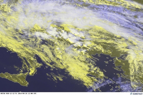
Rapid thunderstorm initiation underway across the S-CNTRL Balkans in the last 2 hours as a response to strong diurnal heating and weakening capping inversion. Widespread showers and pulse storms are seen on radar and satellite imagery, slowly organizing into a few multicells as well.
Source: EUMETSAT
Being in weakly sheared envirnoment, some organized storms are possible, including a supercell or two especially across the SLGT area. Main threats are torrential rain and marginally large hail.
Follow the ongoing storm activity today with Bulgaria radar, Serbia radar and satellite pages.

