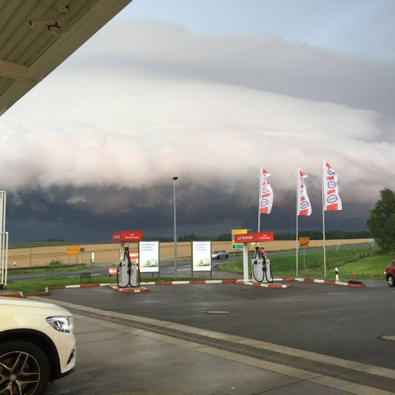
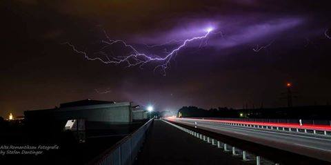
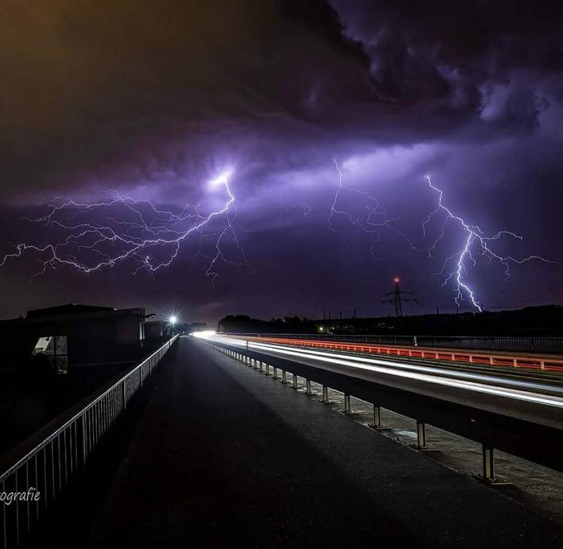
Widespread severe thunderstorms hit eastern France, parts of BeNeLux and western Germany last night and this morning (July 31/August 1).
A volatile setup over central-eastern France and central Germany yesterday produced widespread severe thunderstorms over the region. An unstable atmosphere, with moderate to high instability with MLCAPE in 1000-2000 J/kg range, overspread by a strong mid-level jetstream, to produce about 40-50 kt deep-layer shear; an environment conductive for formation of intense supercell thunderstorms.
Intense discrete thunderstorms, including supercells formed across W-CNTRL-E France. One particularly intense supercell tracked east of Reims. The supercell certainly produced significant hail, we are still gathering reports.
[fb_plugin post href=https://www.facebook.com/severeweatherEU/videos/2057029314520159/]
In the morning hours, severe thunderstorms with intense damaging straight line winds and large to very large hail hit the vicinity of Frankfurt, W Germany. Jonas Piontek of Gewitterjagd provided live coverage of the storm.
[fb_plugin post href=https://www.facebook.com/severeweatherEU/videos/2057187201171037/]
[fb_plugin post href=https://www.facebook.com/severeweatherEU/videos/2057203214502769/]
[fb_plugin post href=https://www.facebook.com/severeweatherEU/videos/2057435887812835/]
This article is being updated as reports are coming in, so check back soon! Also, feel free to report if you were on these thunderstorms!


