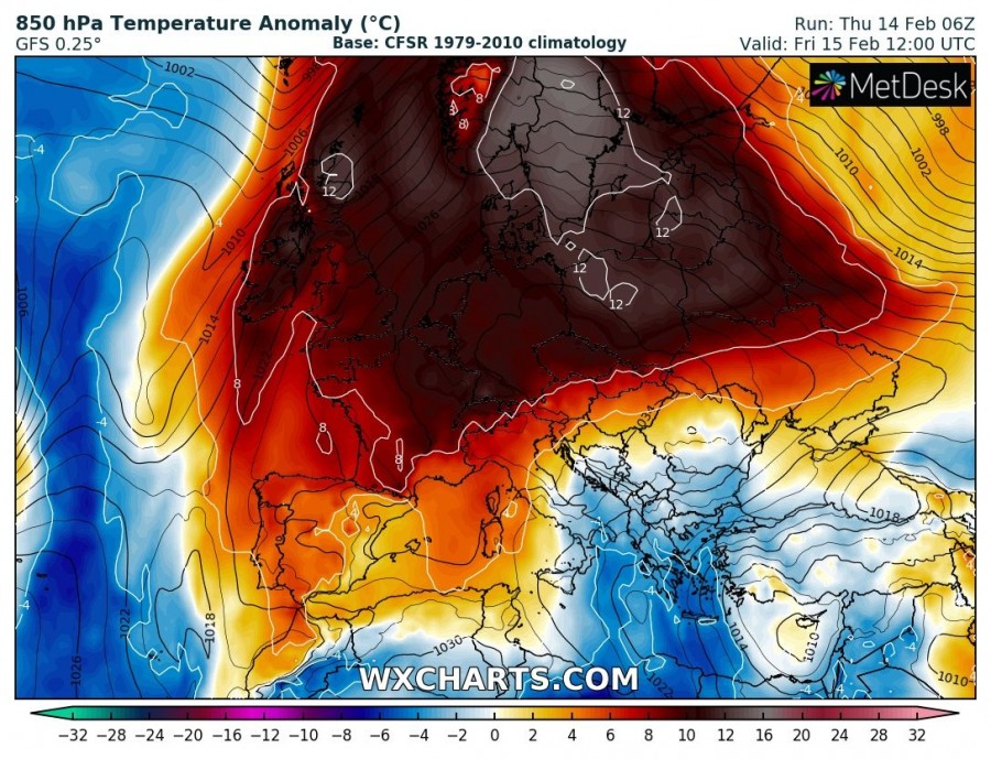
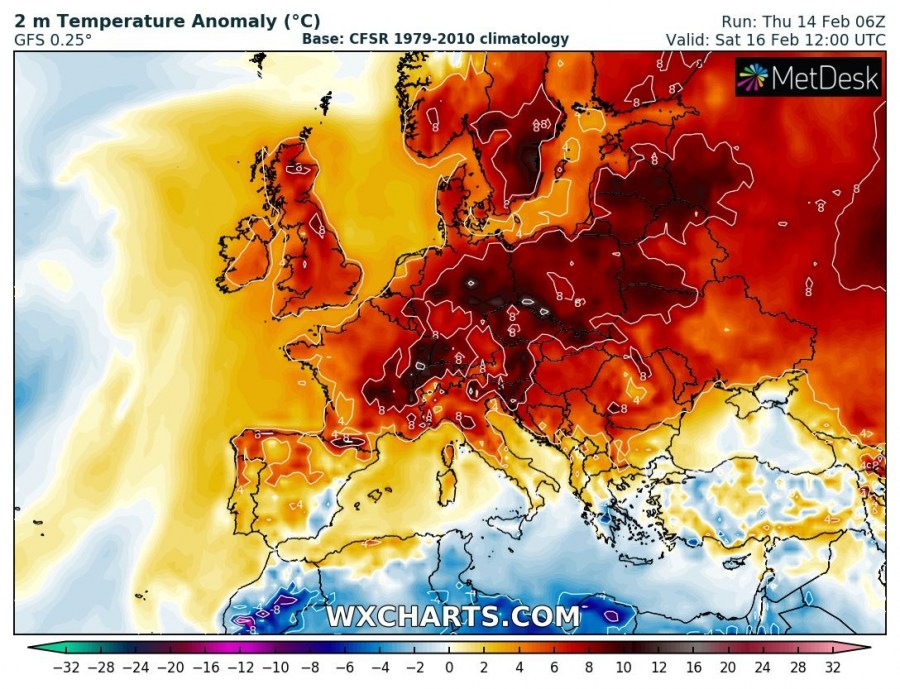
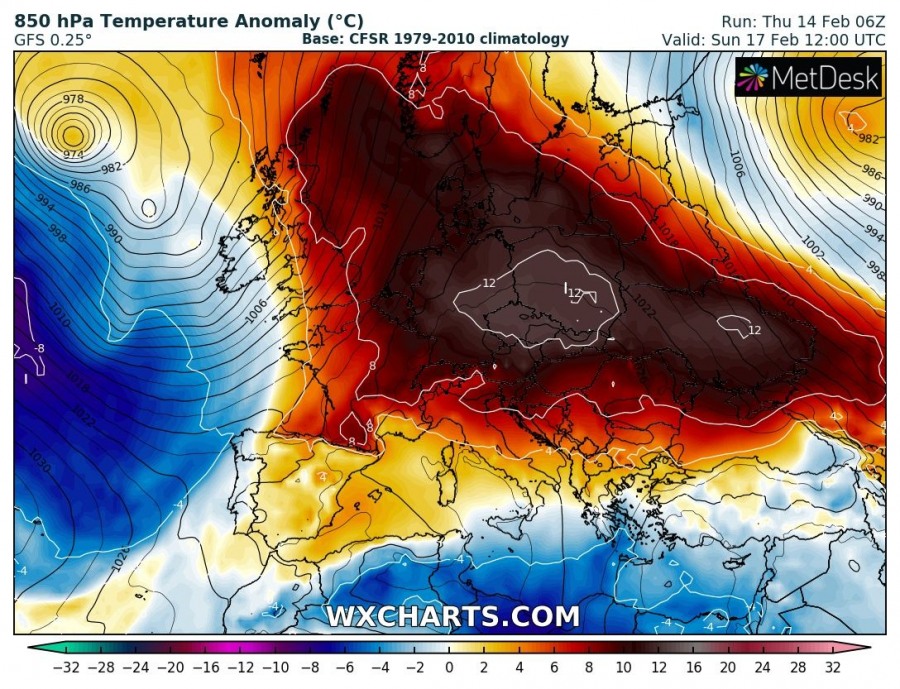
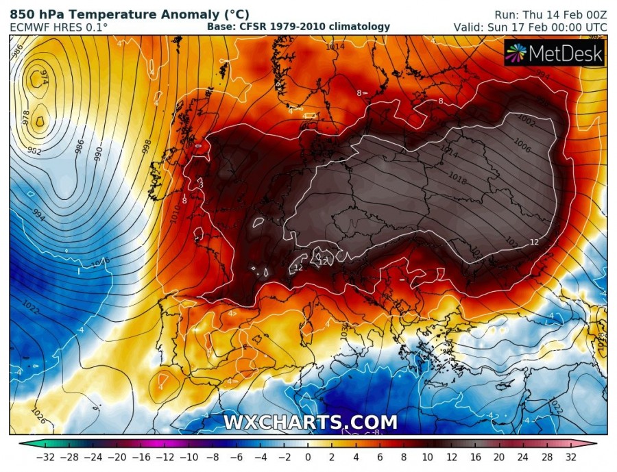
As the powerful ridge over Europe strengthens, we are looking at another 3-4 days of very warm weather for February across most of the continent.
Much of Europe is under a broad ridge, centered over Germany today, with surface pressure reaching close to 1040 mbar. The ridge will slowly move southeastward over the next few days, but high temperatures will persist at least until Sunday when a shallow trough pushes in from the west for a brief respite.
Outlook by day. Maps: GFS 850 mbar temperature anomaly map, GFS 2 m temperature anomaly map, ECMWF 850 mbar temperature anomaly map
Friday, February 15th
Saturday, February 16th
Sunday, February 17th
More on the pattern across the continent this week:


