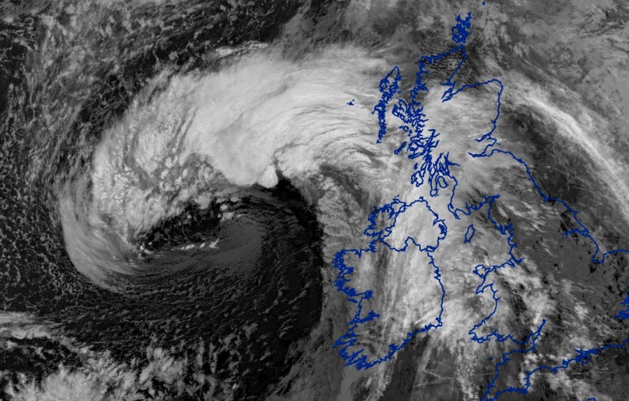
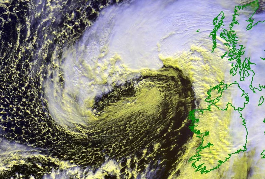
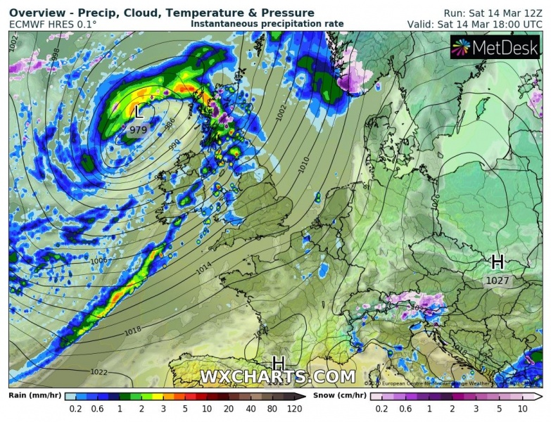
A relatively small cyclone was crossing North Atlantic through the past two days and is now entering western Europe. This afternoon, it had a quite impressive satellite presentation while approaching the UK. It is now near its peak with 980 mbar this evening and will deliver severe winds across Northern Ireland and Scotland overnight.
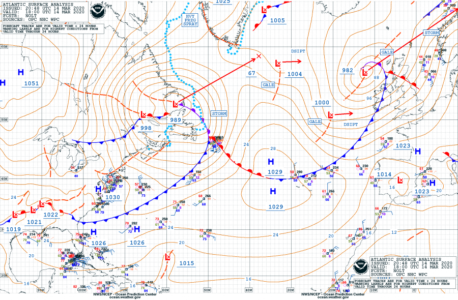
As of 18 UTC today, March 14th, the system had a central pressure of 982 mbar and near its peak. The pressure drop over the last 24 hours was 21 mbar. The cyclone will now be gradually weakening while moving across Scotland tonight and across the North Sea into western Scandinavia tomorrow. Notice also there is a new large cyclone ejecting southeast Canada – we will have details on this shortly:
- 982 mbar at 18 UTC, March 14th
- 984 mbar at 182 UTC, March 14th
- 992 mbar at 06 UTC, March 14th
- 1000 mbar at 00 UTC, March 14th
- 1003 mbar at 18 UTC, March 13th
The satellite presentation is quite spectacular, with a textbook cyclonic structure and a strong dry conveyor belt wrapped into the core.
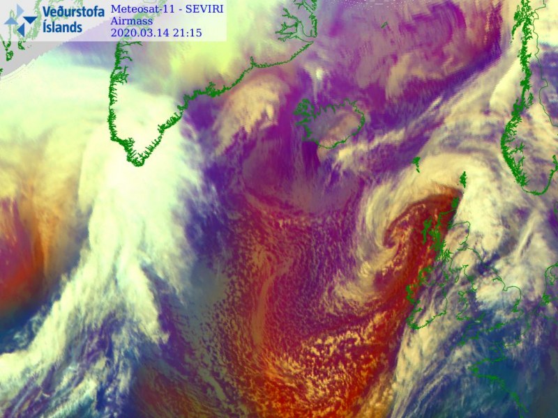
The system will be gradually weakening while moving across Scotland and North Sea tonight and tomorrow morning, reaching western Scandinavia on Sunday afternoon. A lot colder air mass will be pushed towards Iberia behind the cold front:
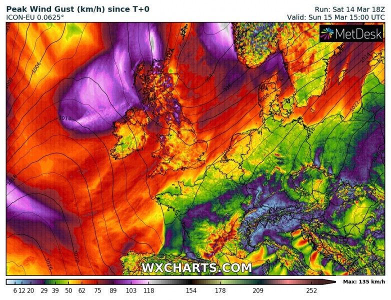
Severe wind gusts are likely across Northern Ireland and Scotland overnight, when cyclone crosses the region. Peak gusts could exceed 75 mph / 120 km/h:
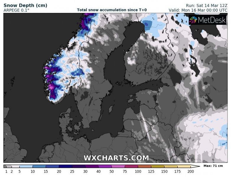
With persistent moist flow associated with the system while travelling towards Scandiavia, it will deliver lots of precipitation into the higher terrain of SW Norway. A lot of fresh snow in expected again, up to around 75 cm fresh snow is possible:
See also:
