There is a lot of information swirling around the internet, media, and other sources at the moment about a climate phenomenon called El Nino. You may have heard of it for the first time lately since an El Nino alert has been issued for Australia, or perhaps you’ve heard of it in years gone by.
Either way, our intention with this article is to help shed some light on this important climate driver that’s all the rage on the internet and in the media. We will explain what El Niño is, what causes it, how we can monitor and predict its development, and how it will likely affect Australian weather in 2023.
EL NINO – ORIGINS OF THE NAME
El Niño is a Spanish term for a phenomenon associated with abnormal sea surface temperatures in the tropical Pacific Ocean. It is one of the most well-known natural climate influences on Earth. It is one phase of a broader pattern of irregular, periodic variations in winds and sea surface temperatures known as the El Niño–Southern Oscillation or ENSO.
We’ll explain more about ENSO later in this article. Still, it is essentially a term used to describe the oscillation between the El Niño, neutral, and La Niña, or opposite phases.
The Spanish term El Niño translates to ‘little boy’ or ‘Christ child.’ It appears to have been used in a climate and weather context since the 1600s when fishermen off the South American coast recognized unusually warm water in the Pacific Ocean around Christmas and into the beginning of the new year.

PREDICTIONS, EL NINO ALERT, AND CONFIRMATIONS ABOUT EL NINO IN 2023
For several months now, authorities around the world have been forecasting the high likelihood of an El Niño event developing and strengthening during the Australian winter, and just recently, the National Oceanic and Atmospheric Administration (NOAA) in the United States has officially announced that an El Niño event is underway.

Climatologists for the Australian Bureau of Meteorology have recently determined that sufficient criteria have been met to issue an El Niño Alert, which usually correlates to a 70% chance of an El Niño event impacting Australia in 2023.
We will discuss more about El Niño in this article, including what it is, what causes it, and its usual impacts on Australian weather when it occurs, including the likelihood of warmer and drier weather.
THE VAST PACIFIC OCEAN AND THE GLOBAL IMPACTS OF CHANGES TO SURFACE TEMPERATURES
Before we delve a little into ENSO, El Niño, and the effects on climate and our weather here in Australia, we need to take a moment to focus on the Pacific Ocean and the role that it plays in our global climate.

The Pacific Ocean is a vast body of water covering approximately 168 million square kilometers, almost one-third of the planet. It has a maximum diameter of 17,700km at its widest point. To put that into perspective, you could fit just over five moons along this length. With those statistics, it is no surprise that the Pacific is the biggest ocean on the planet.
The Pacific Ocean acts along with other oceans and other large seas to absorb most of the sun’s radiation (compared to the land), particularly in the tropical waters around the equator, where it acts as a massive, heat-retaining solar panel.
But the ocean doesn’t just absorb and store solar radiation. It also plays a significant role in distributing that radiation in the form of heat around the planet through ocean currents as well as through surface evaporation into the air, adding temperature and humidity, which can lead to clouds, rain, and storms that are subsequently carried away by air currents known as trade winds.

Back below the surface, flowing ocean currents act much like a conveyor belt, transporting warm water from the equator toward the poles and cold water from the poles back to the tropics, helping to regulate the global climate and to counteract the uneven distribution of solar radiation reaching the globe-shaped surface of the planet.
So, let’s consider these basic concepts and how big the Pacific Ocean is. It makes sense that any significant changes to the surface temperatures of such a large body of water can affect weather patterns worldwide, especially those continents that border the Pacific, such as Australia and North and South America.
These changes include enhancing drought, heat, and wildfires on one side of the basin and causing increased rain and floods on the other.
WHAT IS ENSO?
The El Niño-Southern Oscillation (ENSO) is a recurring climate pattern characterized by fluctuations in the temperature of waters in the central and eastern tropical Pacific Ocean. Over approximately three to seven years, a significant portion of the tropical Pacific Ocean experiences warming or cooling of surface waters, ranging from 1°C to 3°C deviation from normal conditions.
Now that we have considered the Pacific Ocean’s magnitude and role in absorbing and transferring heat let’s discuss some information about ENSO and one of its phases that we hear a lot about at the moment, El Niño.
This oscillating pattern of warming and cooling, known as the ENSO cycle, has direct implications for the distribution of rainfall in tropical regions and exerts a considerable influence on weather patterns across the United States and other parts of the world. El Niño and La Niña represent the extreme phases of the ENSO cycle, with an intermediate phase known as ENSO-neutral occurring between these two extremes.
WHAT IS EL NINO, AND WHERE DOES IT FIT INTO THE BIG PICTURE?
El Niño is characterized by unusually warm water in the central and eastern tropical Pacific Ocean and cooler-than-usual water in the western tropical Pacific Ocean. This pattern of abnormal sea surface temperatures typically causes the easterly trade winds that flow across the tropical Pacific Ocean near the equator to weaken or even reverse and thus, as a result, cause rising air on the eastern side of the basin and sinking air on the western side as per the image below.

Now where there is rising air on the Eastern side of the basin, we will see an enhancement of rainfall, potentially leading to flooding, typically seen over the United States. On the Western side of the basin, where the air is sinking, we see a reduction in rainfall with drought, wildfires, and extreme temperatures, typically seen over Australia.
El Niño can also drastically impact agricultural production, wildlife populations, ocean fisheries, and coastal communities. An example is the fishing communities off Peru, which rely on the cold Humboldt Current that flows north off the South American coastline, bringing nutrient-rich water to the surface with cold water upwelling.
During El Niño, this current is significantly weakened with the warmer sea surface temperatures and lack of nutrient-rich cold water upwelling from the depths, causing a drastic reduction in the number of products necessary for sustainable business practices and day-to-day living for communities.
WHAT CAUSES EL NINO?
An El Niño event is caused by various complex and interrelated processes involving circulations in the Pacific Ocean and the atmosphere above. A name for this is called the Walker Circulation. Essentially, it occurs due to a temporary weakening or reversal of the trade winds over the tropical Pacific Ocean, resulting in the surface water temperatures in the central and eastern Pacific Ocean becoming measurably warmer than usual.

The main driver for the weakening of these trade winds is the Madden-Julian Oscillation, a planetary-scale system of convection in the tropics traveling from the west to the east. Embedded within this planetary wave are smaller-scale waves called Kelvin Waves.
The trade winds usually blow from east to west, taking warm surface waters with them and causing colder water from the depths of the eastern Pacific Ocean off the coast of South America to be drawn up to the surface in a process known as upwelling.
WHAT ROLE DO TROPICAL CYCLONES PLAY IN WEAKENING THE TRADE WINDS?
The formation of severe tropical cyclones in the western Pacific Ocean is one factor that leads to the weakening of the trade winds. When these cyclones develop in specific configurations, they can generate a tropical Kelvin wave that travels along the equator toward South America. As this wave progresses, it causes a weakening in the strength of the trade winds as well as transporting ocean heat content eastwards.
 When the trade winds weaken, the upwelling of cold water in the eastern Pacific Ocean decreases, allowing warmer water at the surface to flow back towards the east and increase average sea surface temperatures in the region, as seen in the graphic below.
Meanwhile, as the oceanographic changes we just discussed are occurring in response to weaker trade winds in the tropical Pacific Ocean, the circulation of the air above also responds accordingly, El Niño develops, and the impact on climate and global weather begins to take shape. It is critical for this coupling between the ocean and atmosphere to occur. Otherwise, the impacts of the El Nino event are likely to be reduced.
WHAT OTHER INDICATORS CAN WE USE TO MONITOR AND PREDICT AN EL NINO PHASE?
We know one of the primary indicators used to predict El Niño is the temperature of the equatorial Pacific Ocean. A rise in sea surface temperature in key regions, accompanied by a weakening of trade winds, can signify the onset of El Niño.
But, El Niño can also be predicted by tracking the atmosphere above the tropical Pacific Ocean, with a focus on monitoring wind patterns, the amount of cloud, and air pressure differences between set locations such as between Tahiti and Darwin, Australia, which is known as the Southern Oscillation Index (SOI).

PREDICTING IT REMAINS A CHALLENGE
Expert climatologists and meteorologists utilize their scientific knowledge, advanced technology, and continuous monitoring of weather patterns to predict El Niño accurately. They gather data from multiple sources, such as weather satellites, ocean buoys, weather balloons, and ships. This data is then fed into complex computer models, which forecasters use to predict future climate and weather patterns.
Despite the advancements in forecasting techniques discussed in this article, accurately predicting El Niño and its strength remains challenging. The precise timing, intensity, and duration of El Niño events can vary greatly, posing difficulties for climatologists in delivering precise forecasts.
Another important aspect to consider is that each El Niño possesses its unique characteristics, thereby making the impact of El Niño a matter of likelihood and probability rather than certainty.
Nevertheless, continuous monitoring efforts and technological advancements have bolstered climatologists’ ability to improve El Niño prediction capabilities. This progress allows them to issue early warnings and aid communities and industries in proactive preparations for potentially dangerous weather events.
HOW DO WE MEASURE THE STRENGTH OF EL NINO EVENTS?
An index known as the Oceanic Niño Index (ONI) is just one measure used by the NOAA Climate Prediction Centre in the United States to monitor the strength of El Niño events. It monitors rolling 3-month average sea surface temperature anomalies (which are measurable changes from the average) through an area of the central equatorial Pacific, eastward from the International Date Line to 120W longitude.

HOW LONG DOES EL NINO LAST FOR, AND HOW DOES IT END?
El Niño events usually last around one year and occur every three to six years on average.Most El Niño events start during the Australian autumn or winter seasons and gradually weaken during the subsequent summer and autumn, usually exerting the most pronounced influence on Australia’s weather during winter and spring.
El Niño events weaken through natural processes, including the gradual weakening of the anomalous warming of the central and eastern tropical Pacific Ocean through changes in atmospheric circulation patterns and interactions between the ocean and atmosphere. Over time, the ocean temperatures return closer to their normal state, corresponding with the neutral phase of ENSO, as discussed previously.
WHAT IMPACTS DOES EL NINO HAVE ON AUSTRALIA, AND WHAT COULD HAPPEN TO OUR WEATHER?
Australia’s weather is influenced by many climate drivers, including El Niño and its opposite ENSO phase La Niña, which strongly influence year-to-year climate variability in Australia.

The influence of El Niño on Australian weather can result in:
REDUCED RAINFALL OVER AUSTRALIA
El Niño is often associated with reduced rainfall over large areas of the Australian continent, particularly in the eastern and northern states and especially during winter and spring, where stronger than normal high-pressure systems dominate the weather. Most of eastern Australia’s driest winter-spring periods have occurred during El Niño years. This is due to the shift in rainfall away from the western Pacific, as we have discussed previously.
The dry and warm weather associated with El Niño in Australia also increases the likelihood of drought, particularly when El Niño is part of consecutive years of lower-than-average rainfall. Nine of the ten driest winter–spring periods on record for eastern Australia occurred during El Niño years, with the severe droughts of 1982, 1994, 2002, 2006, and 2015 all associated with El Niño.

WARMER TEMPERATURES
During El Niño, extensive areas of Australia frequently experience above-average daytime temperatures. This warmer weather can enhance the likelihood of droughts, wildfires, extreme heat events, and prolonged heat waves. While El Niño is a natural phenomenon, the background warming induced by climate change has also led to warmer El Niño years in recent decades.

A SHIFT IN TEMPERATURE EXTREMES
El Niño can enhance the likelihood and intensity of heat waves in some areas. The combination of warmer atmospheric conditions and reduced cloud cover can create favorable conditions for extreme heat events, which can enhance conditions that contribute to the catastrophic fire seasons that we know too well in Australia, particularly in eastern and southeastern Australia.
A classic feedback loop with prolonged dry conditions and extreme heat relates to a reduced soil moisture content. Dry soils heat a lot quicker than wetter soils resulting in an exacerbation of the extreme conditions.
While its impact on heat and rainfall is generally well known, El Niño can also lead to reduced cold weather extremes. For example, in some regions that typically experience very cold weather, El Niño can result in fewer extremely cold temperatures during winter.
INCREASED FROST RISK
During El Niño, dry air and clear skies in Australia tend to result in higher-than-average daytime temperatures. However, these same conditions can also lead to colder overnight temperatures caused by the subsidence of dry air from aloft over days and sometimes weeks.
The clear and dry nights associated with El Niño can intensify the occurrence and severity of frost during the cooler months. Australia’s lowest recorded temperature of -23ºC at Charlottes Pass took place in 1994, which happened to be the concluding year of a triple El Niño event.

LATER ONSET OF MONSOON AND POSSIBLY FEWER TROPICAL CYCLONES
During El Niño, the onset of the monsoon in Northern Australia is typically delayed by a few weeks compared to normal conditions. Additionally, El Niño years often correlate with a decrease in the number of tropical cyclones, especially on the east coast, northeast of Queensland, with an increase in wind shear and lower-than-normal sea surface temperatures being key factors.
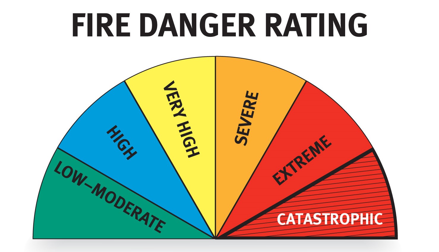
INCREASED FIRE DANGER IN SOUTHEAST AUSTRALIA
During El Niño, Australia often experiences an increased risk of fires due to the associated weather conditions. El Niño typically brings drier and hotter conditions to many parts of the country, creating a more favorable environment for wildfires to ignite and spread.
Reduced rainfall, lower humidity levels, and higher temperatures can lead to drier vegetation, making it more susceptible to ignition. High fuel loads from years of undergrowth can further compound this ticking time bomb. Stronger winds associated with El Niño can also enhance the rapid spread of fires once they start. As a result, the fire risk in Australia tends to be heightened during El Niño events.
DECREASED ALPINE SNOW DEPTHS
El Niño’s impact on Australia’s cool-season temperature and rainfall patterns can affect the accumulation of snow in Alpine areas. Research indicates that during El Niño years, the average seasonal maximum snow depth at Spencers Creek in NSW (elevation 1830m) is approximately 23 percent lower than when the Pacific Ocean is neutral. Furthermore, the duration of the snow season is typically a few weeks shorter during El Niño.
However, it is important to note that Australia’s snow season can exhibit considerable variation from year to year, and other climate drivers, such as the Southern Annular Mode (SAM), determine how much snow may fall in any given year. Therefore, it is still possible to experience an above-average snow season during El Niño conditions.
WHEN WERE THE MOST RECENT EL NINO EVENTS, AND HOW STRONG WERE THEY?
As we know, natural climate drivers like El Niño do not occur yearly. There have been 26 recorded El Niño events since 1951-52, with records showing three events being rated as Very Strong and five others as Strong, as shown in the table below.

The 2015-16 El Niño was one of the strongest El Niño events on record. It significantly impacted weather patterns worldwide, including droughts, heat waves, and reduced rainfall in various regions. The 2015-16 El Niño event had implications for agriculture, water resources, and ecosystems across the globe.
Conversely, the 2014-15 and 2018-2019 El Niño events were relatively weak.
WHAT ARE THE MOST HISTORIC EVENTS?
Historic El Niño events, including those listed above, have significantly impacted global weather patterns, and their impacts on the planet, weather, and humanity have been studied extensively.Here are a few notable El Niño events from history:
1982-1983 El Niño:
This El Niño event is often called a “Super El Niño” due to its intensity. It caused widespread weather problems, including droughts and wildfires in Australia, the infamous Ash Wednesday fires, heavy rainfall in South America, and severe storms in the United States. It is considered one of the strongest El Niño events of the 20th century.
1997-1998 El Niño:
This El Niño event is often regarded as one of the strongest on record. It had far-reaching effects, including severe droughts in Indonesia, flooding in Peru, and significant temperature anomalies worldwide. It was associated with widespread coral bleaching in various regions, including the Great Barrier Reef off the northeast coast of Australia.

2015-2016 El Niño:
As mentioned earlier, this El Niño event was another strong occurrence. It led to extreme weather conditions globally, such as droughts in Southeast Asia, India, and Africa, heavy rainfall, and flooding in South America. It also had implications for the Pacific Island nations, affecting fisheries and agriculture.
These historic El Niño events highlight the potential for significant disruptions to weather patterns and ecosystems, impacting various regions across the globe. Monitoring and understanding these events is important to better prepare for their consequences and mitigate their impacts.
LATEST EL NINO DEVELOPMENTS AROUND THE WORLD
Overnight, the United Nations (on Tuesday) warned the world to prepare for the effects of El Niño, saying the weather phenomenon which triggers higher global temperatures is set to persist throughout 2023.The UN’s World Meteorological Organization (WMO) declared El Niño was already underway and said there was a 90-percent chance that it would continue during the second half of 2023.
WMO Secretary-General Petteri Taalas has warned, “The onset of El Niño will greatly increase the likelihood of breaking temperature records and triggering more extreme heat in many parts of the world and the ocean.”

We already know that the National Oceanic and Atmospheric Administration (NOAA) in the USA has confirmed El Niño is underway, and it is expected that the Bureau of Meteorology (which uses different criteria) in Australia will do so in the coming weeks. How strong this El Niño becomes however is still very much up for discussion.
With all that being said, it can be deduced that El Niño is one of the most significant climatic phenomena occurring on our planet today, with impacts featuring on a global scale.
With continued research and refinement of computer modeling, we can improve our understanding of the complex intricacies involved in forecasting El Niño and help mitigate those on-ground impacts for when conditions come together to create extreme weather.
Sources & Credits:Weatherzone https://www.weatherzone.com.au/NOAA Pacific Marine Environmental Laboratory https://www.pmel.noaa.govNOAA https://www.climate.gov/Bureau of Meteorology http://www.bom.gov.au/Windy https://www.windy.com/NCAR https://climatedataguide.ucar.edu/NMA https://www.nma.gov.au/Science.org https://www.science.org/Science4Fun https://science4fun.info/See also:Unusual Winter Weather Event Threatens Heavy Rain Deluge for Central Australia and Near Record Cold Temps (End of June 2023)