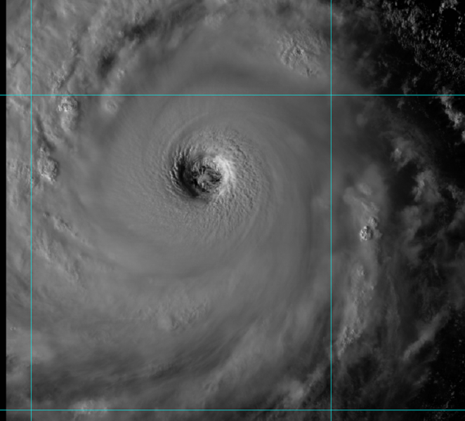
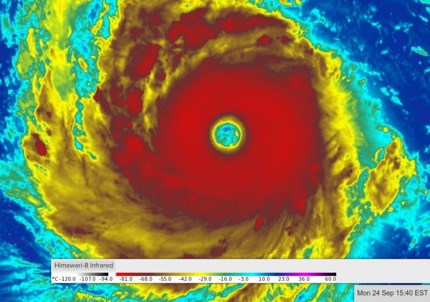
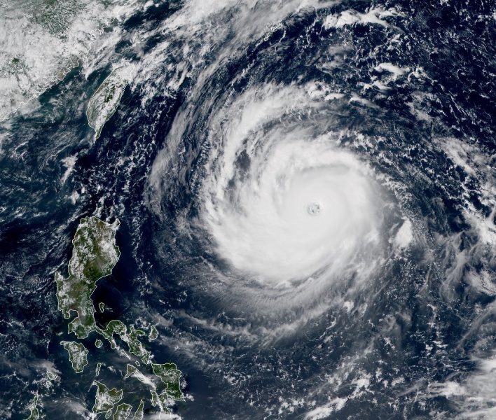
Super Typhoon Trami has gone through an eyewall replacement cycle lately – the pinhole eye has been replaced by a very large eye. A new intense eyewall has been establised and Trami has already strengthened to 150 mph (241 km/h) sustained winds with central pressure of around 927 mbar.
The satellite presentation was very impressive today as the final daytime light was revealing a very complex structure of the eyewall and the eye. A real monster of a typhoon, to say the least.
Looking at the latest satellite animations and infrared satellite imagery, Trami is likely to reach CAT 5 strength within the next 24 hours. As mentioned in our previous discussion, very favorable ocean heat content is available along Trami’s track, so further intensification is expected.
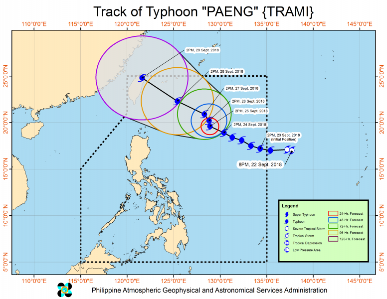
The track of Trami this week has not changed much from the previous update, it will move towards northwest and potential landfall would be the extreme northern tip of Taiwan or Japan’s islands Ishigakijima or Miyakojima. It is increasingly likely the landfall will be at strong CAT 4 or even CAT 5 strength!
Stay tuned fir additional details and updates soon!


