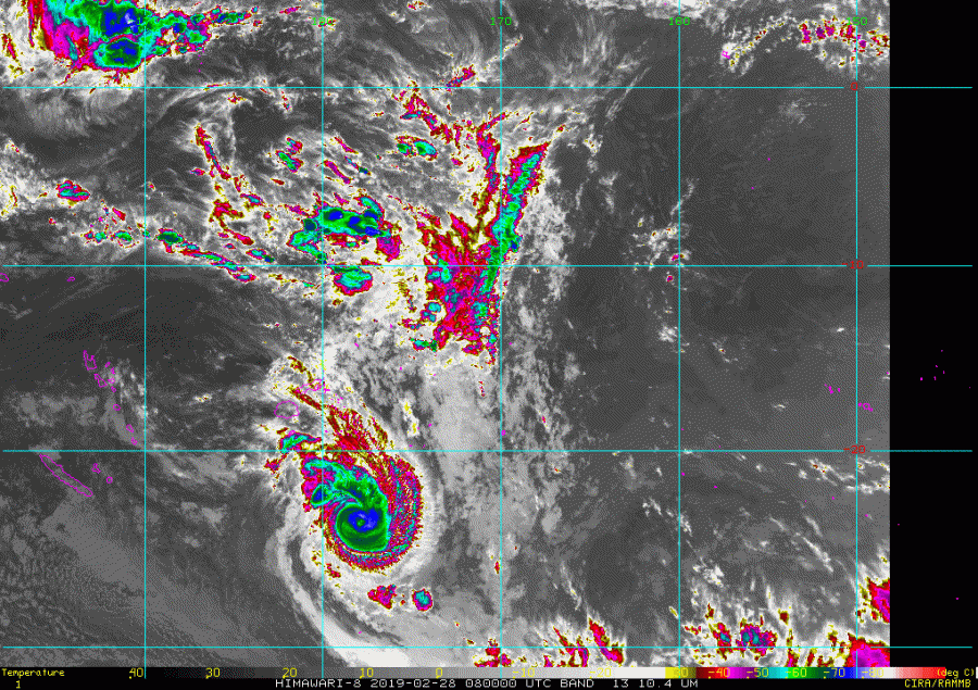
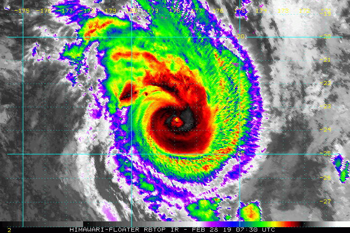
A new severe tropical system is ongoing in the southern Pacific this week – tropical cyclone Pola. It currently packs sustained winds of 95 knots and central pressure of 956 mbar, a borderline a Category 3 system!
Pola is located around 320 miles south of Fiji island, moving south at 10 knots and is expected to maintain similar strength as it remains is quite favorable warm SST (28-29 °C) and low deep-layer shear (10-15 knots).
Advanced Dvorak analysis of the satellite imagery reveals slightly lower estimated winds, a solid Category 1 strength, however.
The Infrared and Water vapour satellite imagery reveals quite an impressive structure of the tropical cyclone with a well-defined upper-level outflow to the SE (poleward direction) and NE quadrants of the cyclone and a distinct eye surrounded by deep convection within the eyewall.
The cyclone’s future track will likely bring Pola more towards the south before it turns east later tomorrow, March 1st local time. Pola will be slowly coming into less favorable environment (Ocean Heat Content reveals worsening sea-surface conditions) and a some stronger shear, so it will start weakening over the weekend.
Stay tuned for additional updates if significant changes in the future track or intensity will occur.


