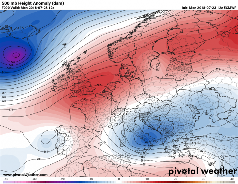
A strengthening ridge from SW Europe is expanding northwards and brought stable conditions over the UK yesterday. Mid-level temperatures were supporting afternoon temperatures to climb much higher than previous days.
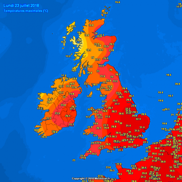
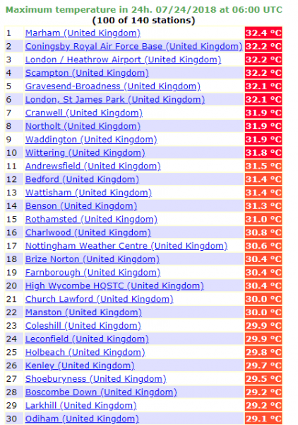
Monday was a pretty hot day across parts of the United Kingdom. Southeastern England peaked into the low 30s yesterday afternoon, July 23rd. In fact, many stations peaked into 31-32 °C range, some of them even exceeded the 32.2 °C treshold (90 F for our friends across the Pond).
While the ridge continues expanding north and east, a trough from the Atlantic will push it further east so expect the British Isles and Ireland to get back into normal temperatures after today. Still, models are picking up another very warm to locally hot day again today, especially across SE England. Max afternoon temperatures could again peak around 30-31 °C.
More hot weather returns for west-central Europe later this week, stay tuned for updates!


