VALID FOR 09-04-2019
SYNOPSIS
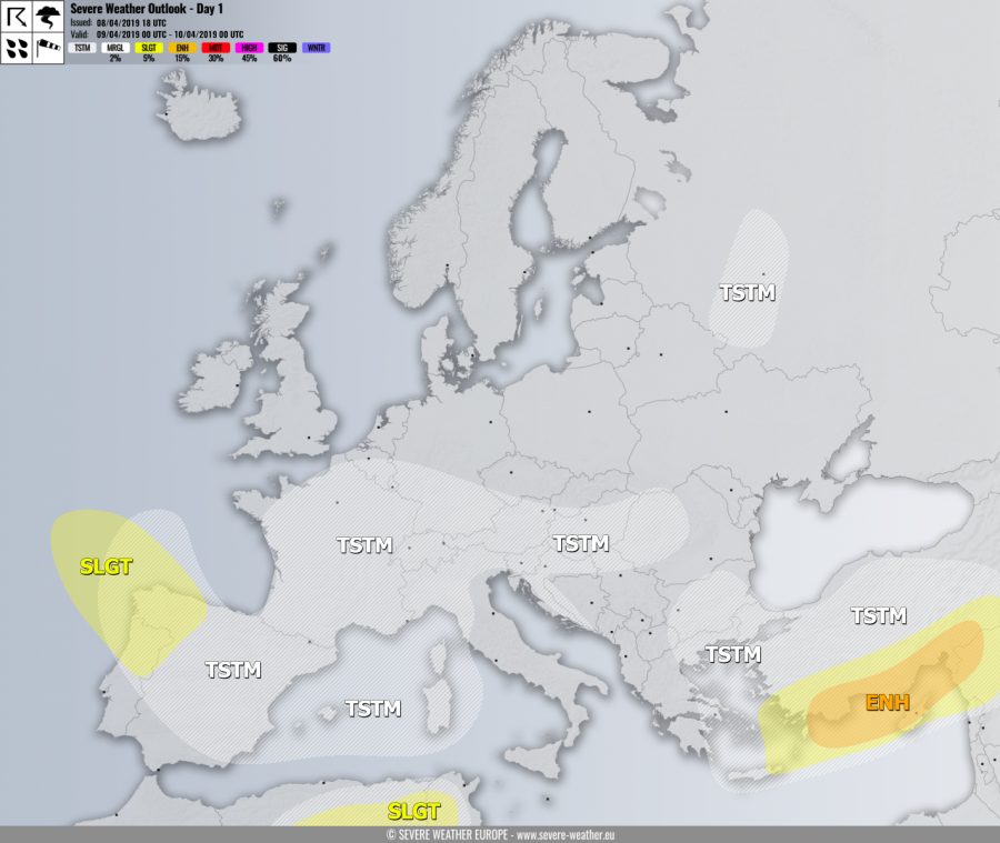
A strong ridge remains over the Arctic region. Further south, a series of troughs / lows continue developing over the Atlantic and being pushed into SW Europe and the Mediterranean. Two deep upper lows will again contribute to severe weather, one is moving across the E Mediterranean and the other one is moving across the Bay of Biscay into N Iberia.
DISCUSSION
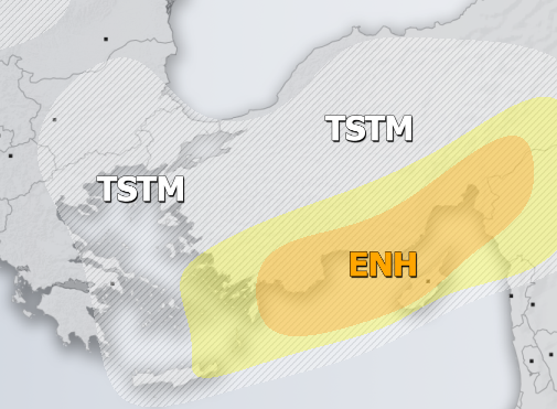
ENH risk has been issued for the south coast of Turkey into the E Mediterranean and N Middle East with threat for severe storms, capable of producing severe winds, torrential / excessive rainfall and large hail. A cyclone with cold front will continues across the E Mediterranean and Turkey towards east. Discrete supercells are likely to develop as well.
SLGT risk has been issued for areas surrounding the ENH risk for more isolated severe storms, capable of producing severe winds, torrential rainfall and large hail.
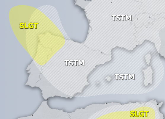
SLGT risk has been issued for W Bay of Biscay into N Portugal and NW Spain with threat for severe winds in excess of 90 km/h exists and for isolated severe storms, capable of producing marginal hail (a lot of accumulated small hail / graupel is possible locally) as well.
SLGT risk has been issued for NE Algeria into N Tunisia with threat for severe storms, capable of producing large hail, severe winds and torrential rainfall.
TSTM risk areas have been placed where convective storms are likely to occur. Locally some accumulated hail is possible.


