SYNOPSIS
A long-wave deep trough still dominates much of Europe while another deep trough is developing over the N Atlantic. Strong ridge remains over the Arctic region. Deep core embedded in the main through moves across S Balkan peninsula while another deep core is over S Scandinavia. A new upper ridge builds up over SW Europe.
DISCUSSION
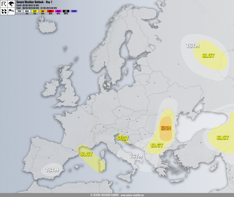
ENH risk has been issued for N Bulgaria into E-CNTRL Romania with threat for severe storms, capable of producing severe winds, large hail and torrential rainfall. Widespread convective activity with organized storms, including supercells is expected within moderate shear/instaiblity along and just ahead of the cold front associated with the Arctic outbreak over the Balkan peninsula. Some tornado threat also exists across the eastern parts of the risk area while elevated storms over central Romania could result in excessive rainfall and hail accumulation threat.
SLGT risk has been issued for areas surrounding the ENH risk across Moldova, Romania, Bulgaria into North Macedonia and S Serbia with more isolated threat for severe storms, capable of producing severe winds, torrential rainfall and marginally large hail.
SLGT risk has been issued for E Turkey into S Georgia and N Syria with threat for severe storms, capable of producing severe winds, torrential rainfall and marginally large hail.
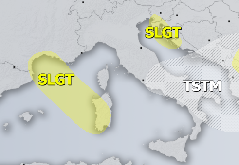
SLGT risk has been issued for NE Adriatic coast with threat for non-convective wind gusts, locally in excess of 100 km/h.
SLGT risk has been issued for S France into NW Mediterranean and parts of Sardinia with threat for non-convective wind gusts, locally in excess of 90 km/h.
SLGT risk has been issued for parts of W Russia with threat for severe storms, capable of producing severe winds, torrential rainfall and marginally large hail.
TSTM risk areas have been placed where convective storms are likely to occur but should remain sub-severe.


