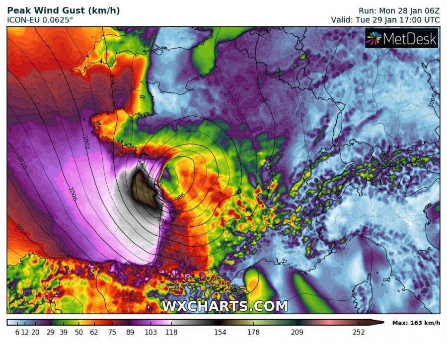
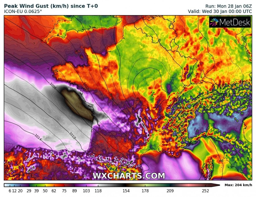
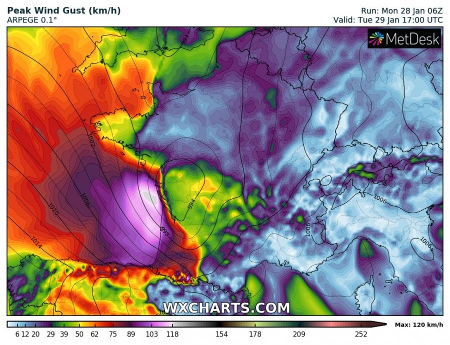
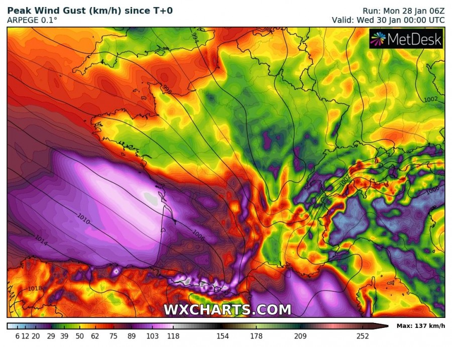
Models are well on track and good agreement on explosive cyclogenesis in the Bay of Biscay tomorrow and a resulting deep cyclone and strong to intense windstorm. Latest model guidance indicates a potentially intense windstorm.
Latest surface analyses indicate the low beginning to form over the central part of the northern Atlantic, NNW of the Azores. Current model guidance indicates the cyclone will push into the Bay of Biscay early tomorrow while explosively deepening down to 980-990 mbar. There remains some uncertainty about the system’s track, although most models place landfall in northern Aqutaine, affecting also Brittany and Pays de la Loire.. Peak wind gusts in 120-160 km/h range.
We will be providing further updates on the evolution of this system – stay tuned!


