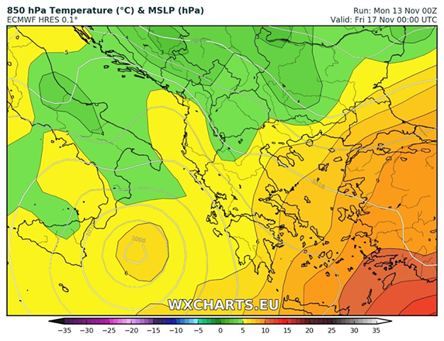
A potentially dangerous feature is seen on the maps this coming Thursday and Friday across Ionian sea towards S Greece – a warm core system or a so-called TLC (Mediterranean tropical like cyclone), or a “Medicane” developing between Sicily and Tunisia, moving into the Ionian sea and intensifying into a strong tropical-like cyclone with sustained winds around 85 km/h and gusts above 120 km/h.
Interestingly, both global models GFS and ECMWF are hinting at its development which is quite surprising given their poor resolution against the high resolution models such as AROME, ICON, WRF, etc. The system definitely deserves more attention in the coming days as it could bring dangerous winds, excessive rainfall and high waves along the coast of WSW Greece should the current model guidance verify.
We are closely monitoring this system. Check back for updates!


