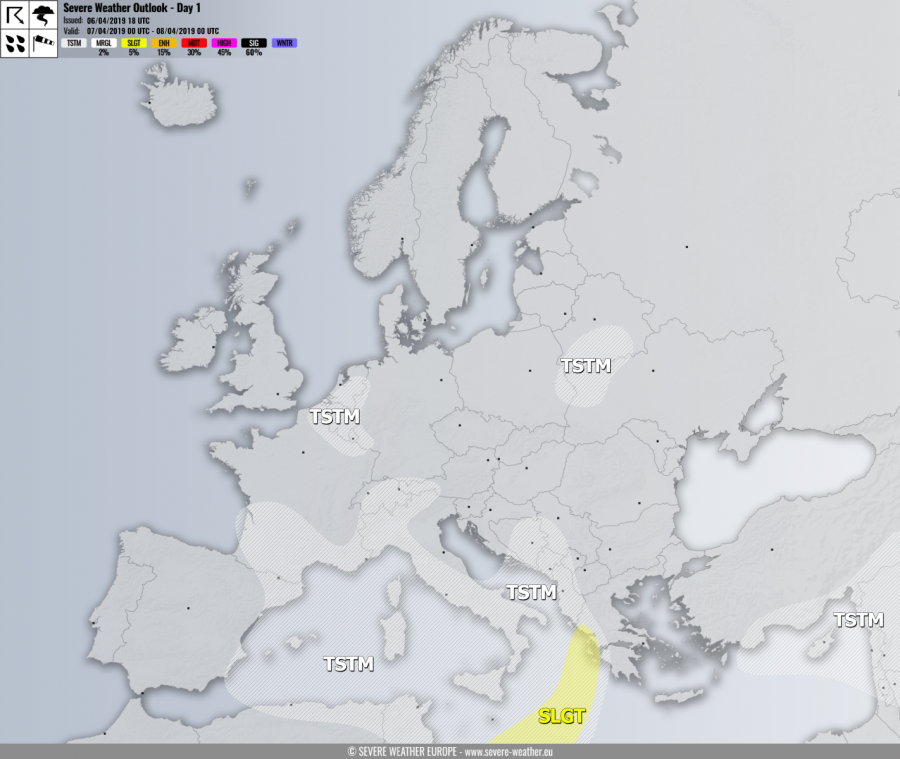
VALID FOR 07-04-2019
SYNOPSIS
A powerful upper ridge is located over the N Atlantic and Iceland while deep troughs / lows are being pushed into SW and S Europe. One of the lows is drifting across the Mediterranean towards Greece. A weakening small upper low moves across E Belarus and N Ukraine.
DISCUSSION
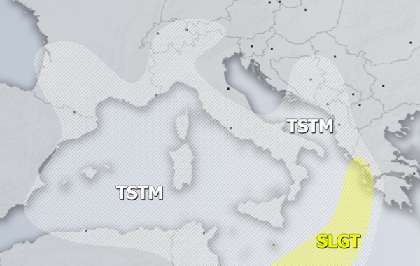
SLGT risk has been issued for the S Ionian sea into SW Greece with threat for severe storms, capable of producing torrential / excessive rainfall, strong to severe winds and marginal hail. The threat will mostly occur overnight to Monday.
TSTM risk areas have been placed where convective storms are likely to occur.

