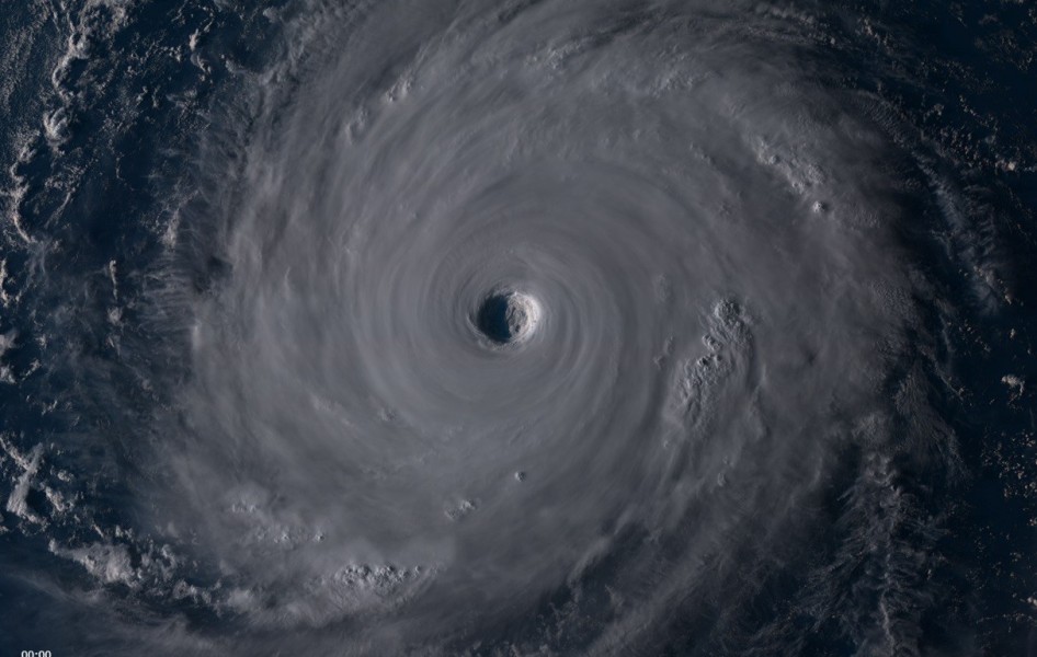
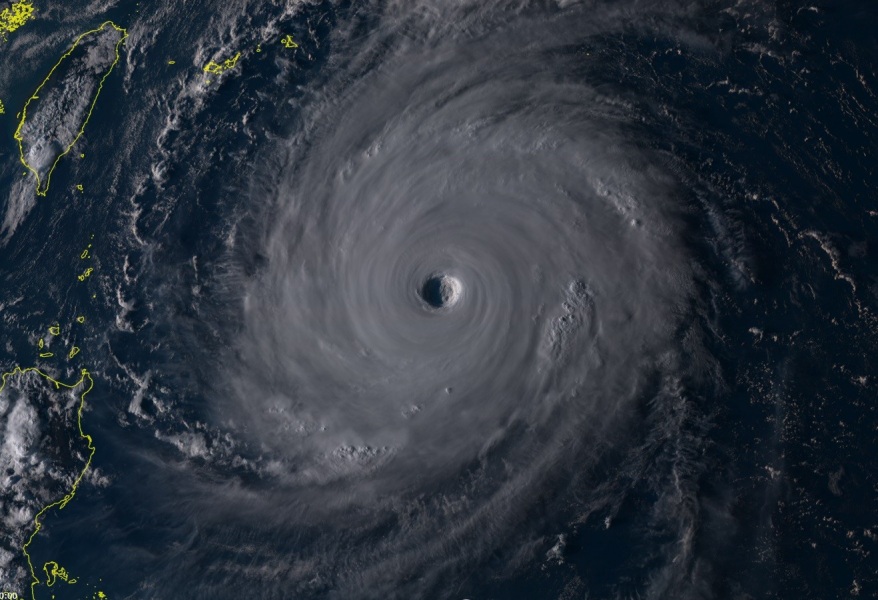
Super Typhoon Trami displays impressive structure while its intensity has been fluctuating lately and maximum sustained winds have decreased to 150 mph, which is upper CAT 4 strength while it was a CAT 5 typhoon 12 hours ago. Trami is now moving almost due north and is strongly decreasing chances of any effects for Taiwan. The first pass over land areas would be into the Islets of Japan, near Miyakojima island on Friday.
The last daytime light across Trami today still reveals an impressive symmetric structure, a powerful deep eyewall and a very large eye. Trami remains a monster typhoon!
Latest infrared and water vapour satellite images suggest that some warming trends of the cloud tops are visible, there could be some wind shear interaction with the system and graudally drier air to its NW side.
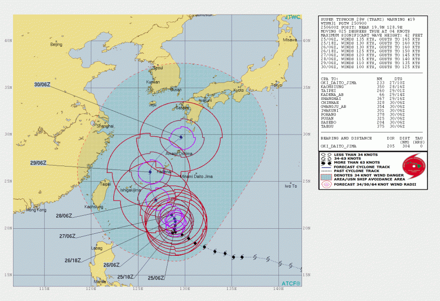
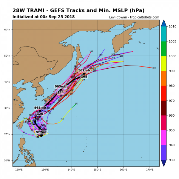
Here are the latest GEFS model guidance and JTWC forecast track for Trami, around 2 days of moving due north before turning back towards NNW on Thursday, nearing Islets of Japan and potential severe landfall in Miyakojima island the day after.
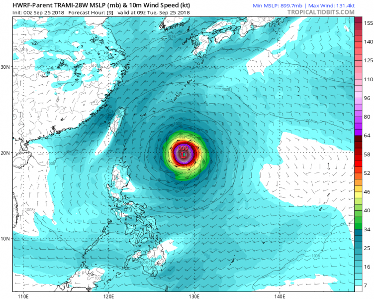
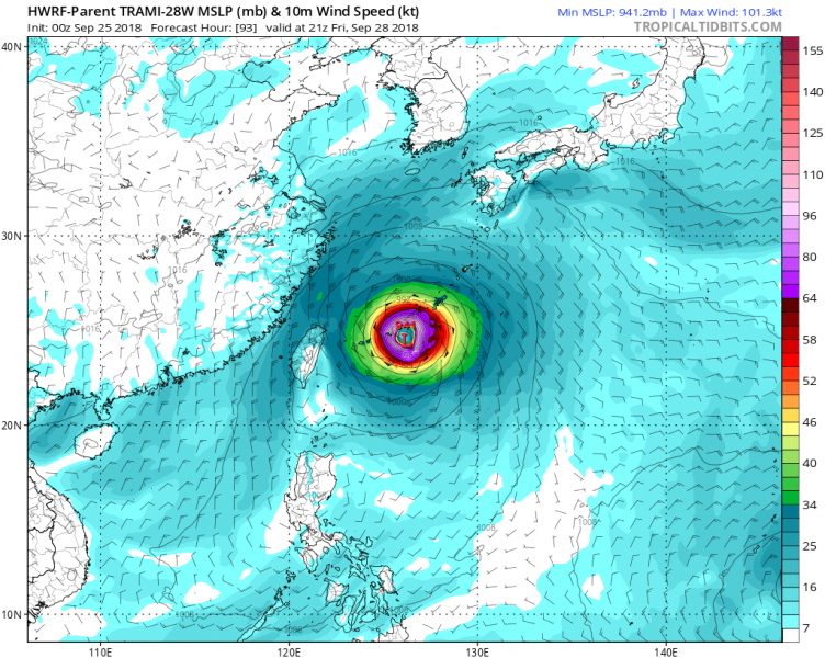
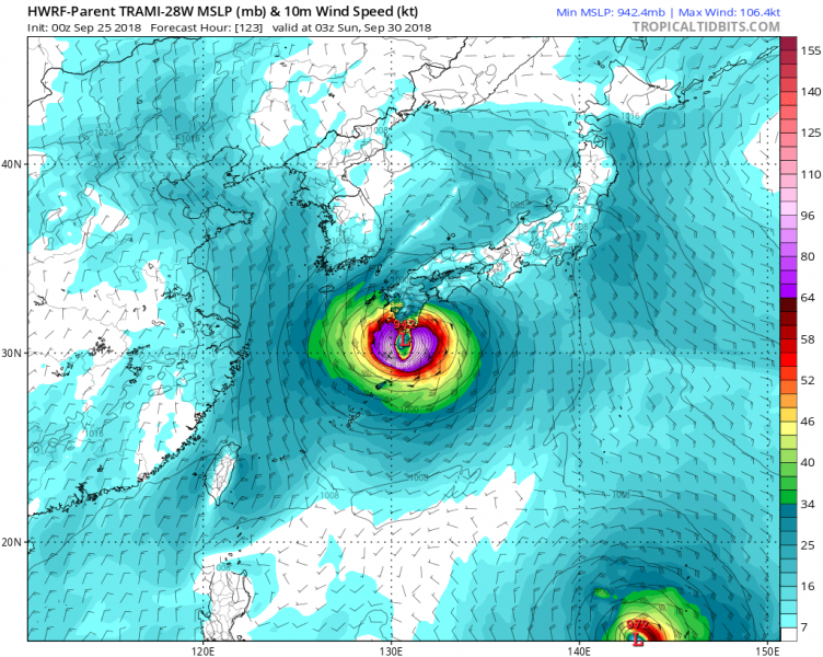
The latest HWRF-P model guidance regarding Trami’s track. Trends are towards Miyakojima island on Saturday morning local time and then a devastating landfall on Kyushu island on Sunday afternoon.
We will have more updates later this evening – stay tuned!
