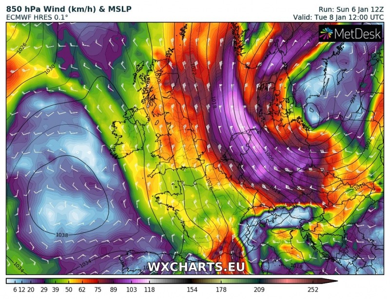
It has been a wild past few days across the northern Alpine flank as intense snowfall has been on going in northern Austria. It is the effect of a classic Stau effect setup with strong northerlies advecting into the Alps. Locally 100-200 cm of snow has been reported. But it is far from over – excessive snowfall with locally extreme amounts of new snow is expected to continue this week, so snow depth will get much deeper!
The pattern through the middle of this week reveals another Arctic outbreak will develop over Europe, being pushed further west than the previous ones which mostly effected the east and partly central Europe. A very deep upper low will move into central Europe on Wednesday with strong north/northwesterly winds advecting high moisture towards the Alps.
Various models are again suggesting excessive snowfall across the region, as northerlies should persist for several days. This means snowfall will be ongoing every day with periods of very intense snowfall rates. Attached maps are based on GFS, ICON-EU and ARPEGE models which all suggest 150-180 mm of precipitation can be expected until Thursday evening – this means 100-150 cm of snow in the highest mountains is not ruled out. This in particular where Stau and orographic effects will be maximized, along the northern flank of the Alps.
Snowfall maps through the next 72 hours suggest locally 70-100 cm of fresh snow are likely in north Austria and southern Switzerland, the already high risk of snow avalanches will likely worsen in some areas and lead to additional road closures. Some snow should also be expected over the Ore mountains and the High Tatras.


