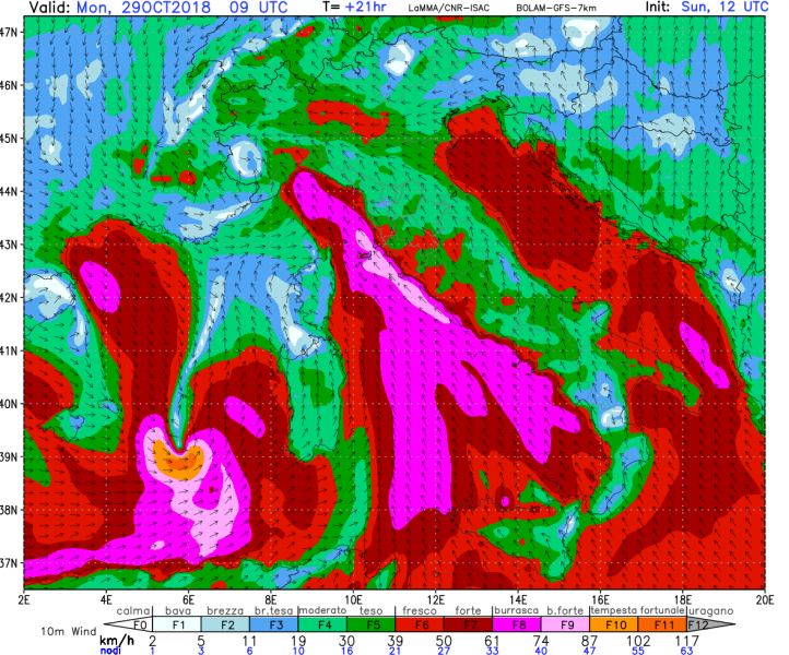
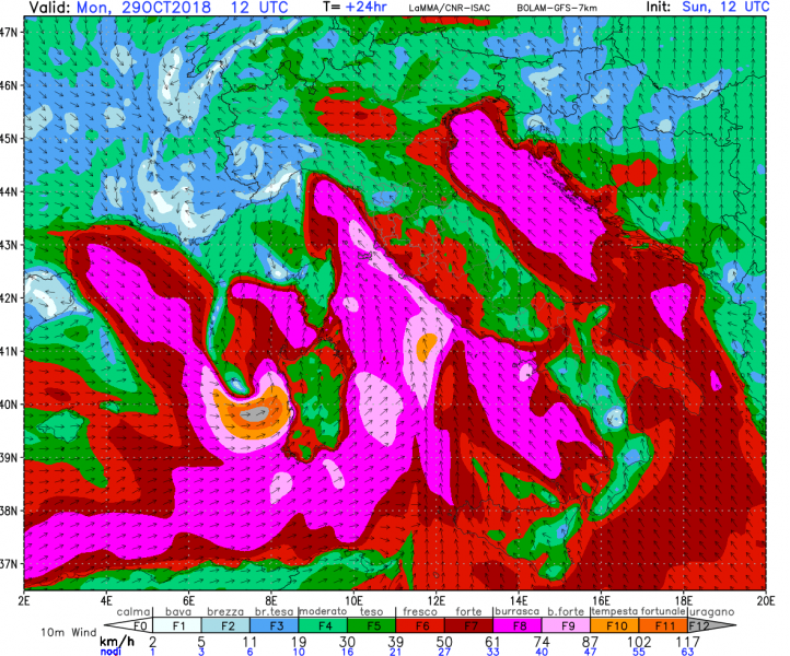
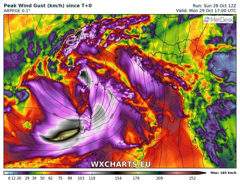
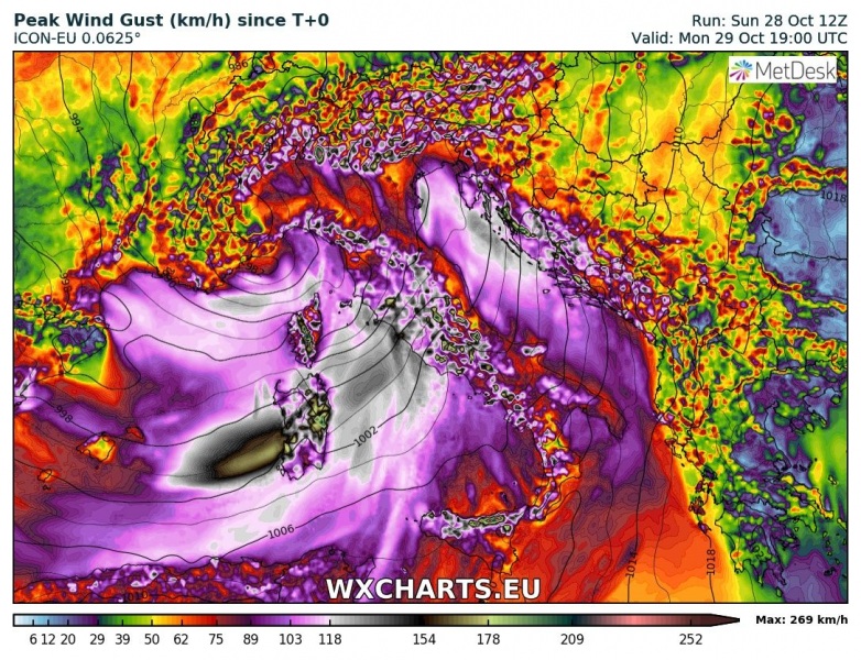
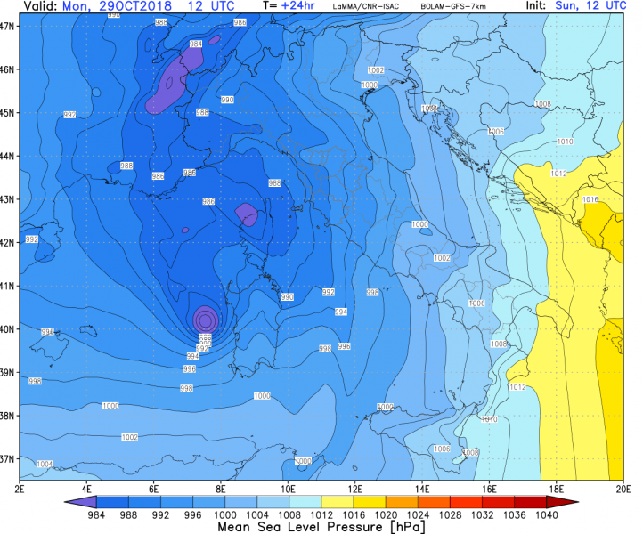
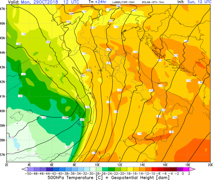
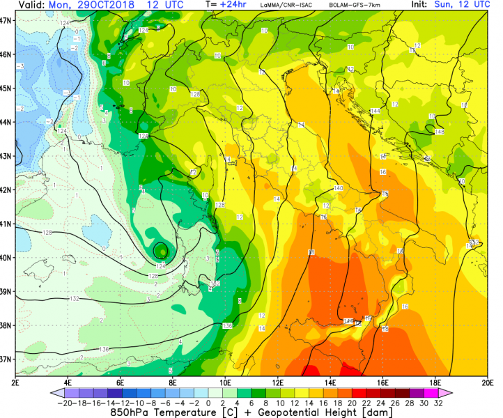
Model guidance is converging on the formation of an intense low over the western Mediterranean tomorrow, rapidly moving into Sardinia. It will quickly deepen to possibly below 985 mbar, producing a windstorm with sustained winds up to 100-120 km/h, likely gusting up to 150 km/h. The indicated affected area is along the western coast of Sardinia.
Models are in fairly good agreement for rapid cyclogenesis over the western Mediterranean southeast of the Balearic Islands early on Monday. The low will rapidly deepen while moving east, with some models indicating surface pressures below 985 mbar. Severe to very severe winds are expected with the system as it impacts the western coast of Sardinia in the afternoon. Indicated sustained speeds of 100-120 km/h are expected, with gusts up to 150 km/h, possibly stronger.
We will be again looking at the development of this system tomorrow morning. Check back!
