The new typhoon Kong-Rey is rapidly organizing in the western Pacific. Its centre is currently located west of Guam. Kong-Rey is now a CAT 1 typhoon, with central pressure of 984 mbar and sustained winds of 75 mph (121 km/h). Intense convection in ongoing around the centre of the low. The system will likely rapidly strengthen through the next 72 hours and potentially reach strong CAT 4 or even CAT 5 strength!
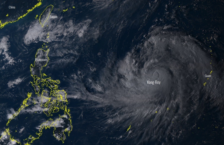
Visible satellite image of Kong-Rey today, evening time across the western Pacific. We can see how big typhoon this is within very low wind shear as near-ideal upper level outflow ventilation can be seen. Intense convection is ongoing around the centre, sign of a rapidly organizing typhoon.
Infrared satellite animation od a rapidly organizing typhoon west of Guam today, it is expected to become Super Typhoon Kong-Rey in few days and head towards Taiwan and Japan islands over the weekend. Animation by Himawari-8 satellite pic.twitter.com/OxNnPeTVkH
— severe-weather.EU (@severeweatherEU) September 30, 2018
A new tropical system is rapidly organizing into a typhoon west of Guam today, it is expected to become Super Typhoon Kong-Rey in few days and head towards Taiwan and Japan islands over the weekend. Animation by @NOAASatellites pic.twitter.com/I3GaoTEABf
— severe-weather.EU (@severeweatherEU) September 30, 2018
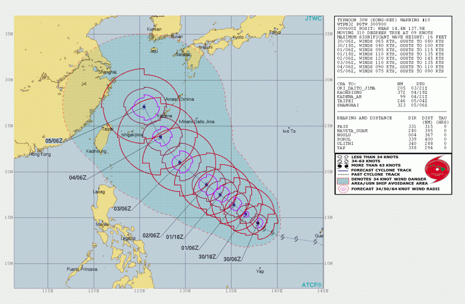
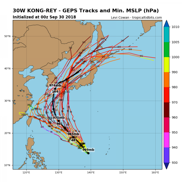
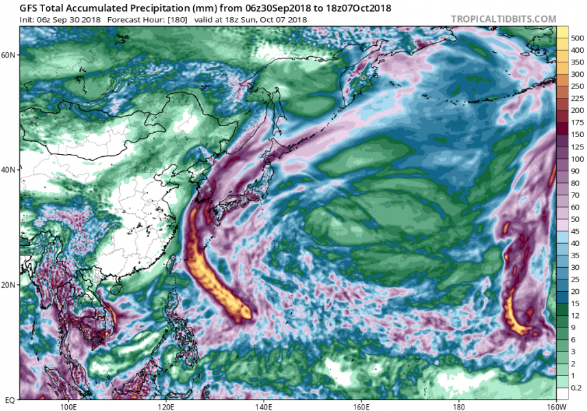
The future track leads Kong-Rey towards NW, nearing Taiwan and Japan towards the next weekend. However, as it is still quite far away from the potential impact, the track may well change. Here are the latest JTWC and model guidance about the likely track, based on today’s simulations.
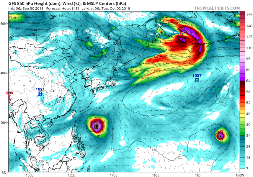
Ocean Heat Content (OHC) map reveals very favorable sea water conditions ahead of Kong-Rey through the next 48 hours, so we can expect rapid intensification of the typhoon, likely reaching a Category 4 strength (if not 5) by Wednesday.
We are closely monitoring the evolution of this typhoon – stay tuned!
