SYNOPSIS
A large trough with deep core and surface cyclone remains over the W Europe with an associated cold front pushed towards the Alps. Ridge persists over south-central Europe and the Balkans while a weakening upper low continues east across the Black Sea and E Turkey.
DISCUSSION
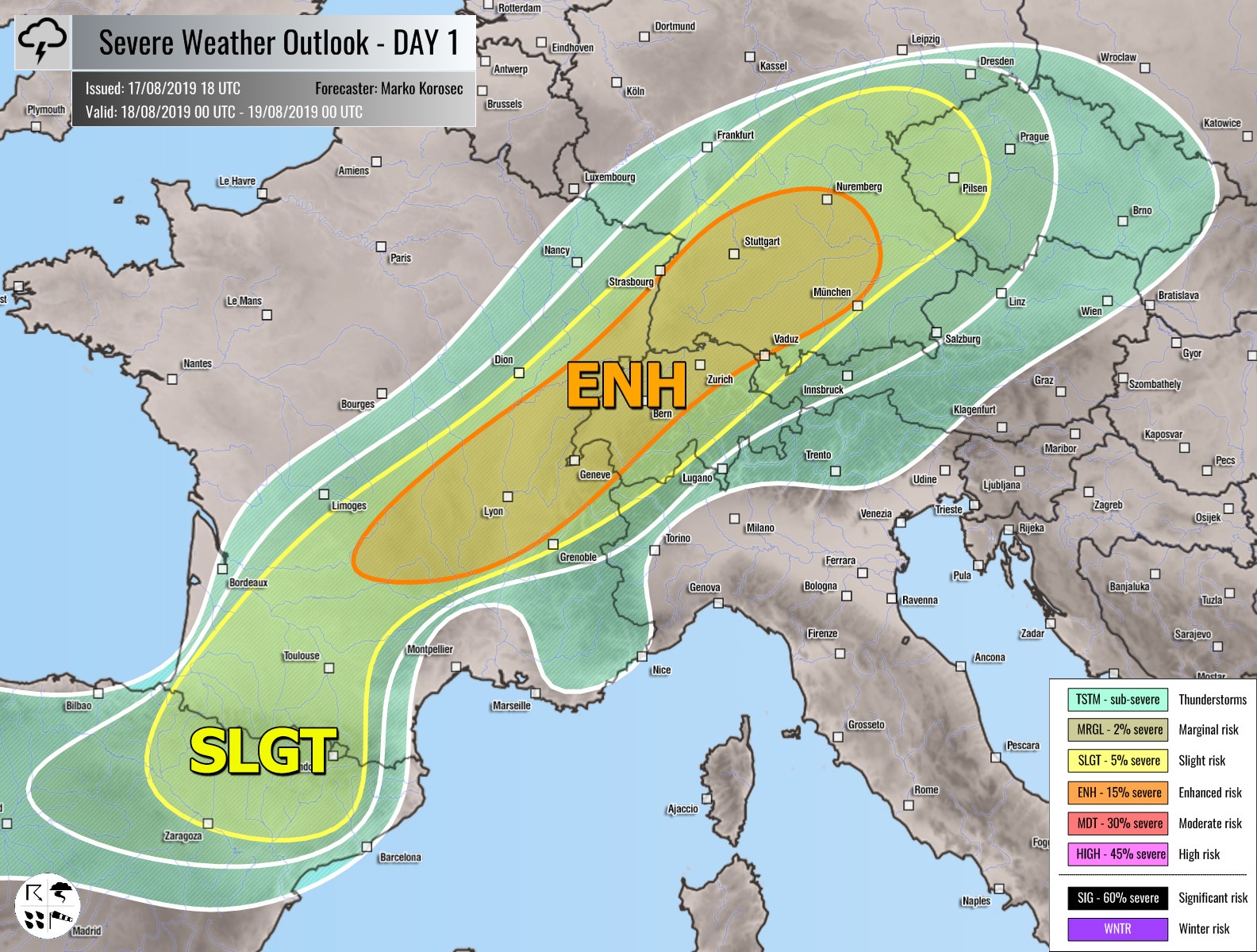
ENH / SLGT risks have been issued for NE Spain across S France, Switzerland into S-CNTRL Germany and W Czechia with threat for severe storms, capable of producing severe winds, large hail and torrential rainfall. Isolated to scattered organized storms including supercells are expected to develop by mid-afternoon and spread northeast towards the evening hours within strongly sheared and moderately unstable airmass, as rapidly recovering near-surface dewpoints occur. The tendency of clustering exists in the evening over the N Alps and Germany.
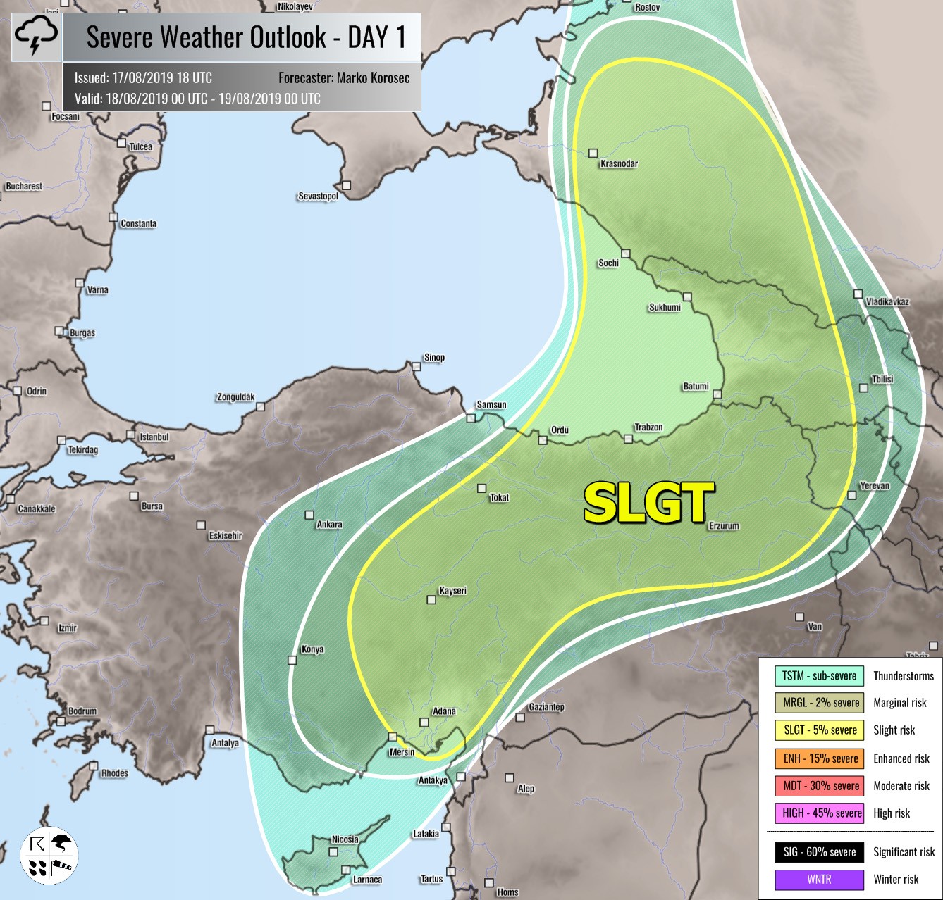
SLGT risk has been issued for E Turkey and Georgia with isolated threat for severe storms, capable of producing severe winds, large hail and torrential rainfall with flash floods.
MRGL risk has been issued for N Morocco into NW Algeria with threat for isolated severe storms, capable of producing severe winds, large hail and torrential rainfall.
TSTM risk areas have been placed where convective storms are likely to occur but should remain sub-severe.


