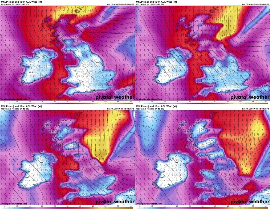
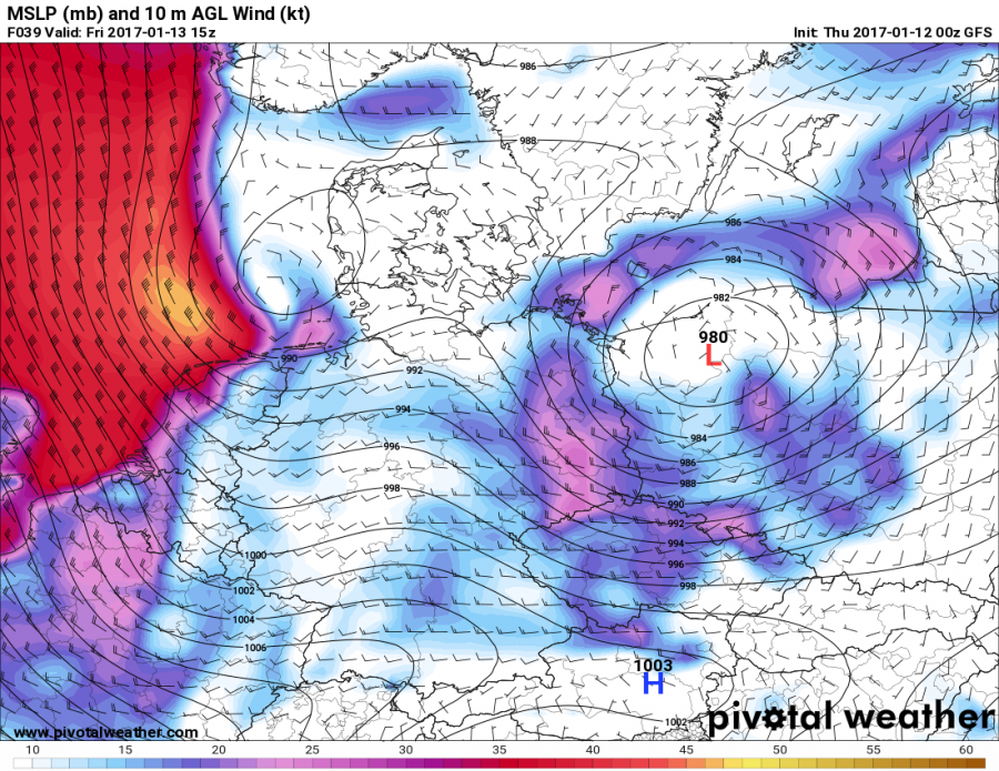
Strong winds are expected over the British Isles and Ireland during the night and morning. In the response to the deep cyclone currently located over the Norwegian sea, which will move southwards over the North sea strong winds will affect much of the region. Coastal flooding threat is also enhanced along the E coast of UK and the coasts of Belgium and the Netherlands.
Expect strongest winds around midnight GMT over Scotland with sustained speeds of 80-100 km/h, and significantly more at higher elevations. Other areas will see sustained winds of 60-90 km/h, locally more. Peak winds will make their way south along the E coast of UK during the night, with maximum sustained speeds of 80-110 km/h.
Maximum winds move over the North sea, affecting the coast of Belgium and the Netherlands in the afternoon and the evening. Maximum sustained winds are expected to reach 70-100 km/h.
We will be updating on this situation as it unfolds.


